5.6 miles
Linear
Moderate
Quoile River Walk
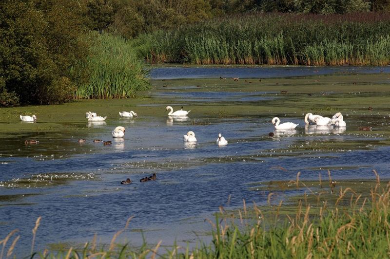
This walk begins at the Down County Museum, passing the Mound of Down, travelling along the Quoile River taking in sights such as Quoile Countryside Centre and Steamboat Quay.
TRAIL INFORMATION
Starting at Down County Museum on English Street, turn left onto Mount Crescent and then turn left heading towards the Mound of Down, passing Downpatrick Primary School. Enter the Mound of Down site and keeping to the right of the Mound follow the path to the north and exit onto a newly constructed path which leads onto Well Lane (adjacent to the sewage works). Turn right onto Well Lane and taking extreme care, cross the Belfast Road close to the St Patrick’s sculpture.
Once across the road, turn left onto the Jane’s Shore path along the Quoile for approximately 1.2 km until reaching the Old Belfast Road. Turn left and once reaching the Quoile Bridge keep right (take care crossing the road) to join the path at the Quoile pondage. Follow the off-road path until reaching Steamboat Quay.
On the return route from Steamboat Quay you can either re-trace your steps along the path or at first car park come up onto Quay Road and once at the Quoile Countryside Centre take the steps down onto the Quoile path again and turn left. Retrace your steps back to Quoile Quay. At this point leave the riverside path and join the Quoile Road, turning left and then right onto the Strangford Road. Walk back towards Downpatrick, passing the cricket ground on the right hand side.
At the War Memorial turn left onto New Bridge Street, passing the roundabout at the junction with the Belfast Road. Continue onto the next junction and take a right turn onto Bridge Street. Follow the road passing Down High School and on to Irish Street, back where you started at the Museum.
GETTING TO THE START
- Point of Interest The Quoile River, Mound of Down, Steamboat Quay
- Facilities Toilets and numerous cafes in Downpatrick. There is also a Tourist Information Centre in the St Patricks Centre off Market St. Toilets and interpretation in Quoile Visitor Centre - opening hours apply. The Centre is signed off the the Downpatrick to Strangford Rd.
- Accessibility Information
Accessibility Grade: Grade 4 Terrain: Off road and on road sections Toilet Facility: No Signage: No - Getting to the Start Downpatrick is about 20 miles southeast of Belfast on the A7. The Quoile Countryside Centre is just off the main Downpatrick to Strangford road (A25) about one mile northeast of Downpatrick; it is well signposted. There is a free car park at the centre.
- Public Transport Translink – journeyplanner.translink.co.uk
- Level of Difficulty
 Moderate
Moderately challenging trails of varying widths with some short, steep climbs and descents. The surface may vary throughout, be slippery and uneven in places. Expect there to be obstacles like exposed roots, narrow gates, stiles and long sets of steps.
Outdoor clothing and sturdy footwear are recommended.