4.8 miles
Loop
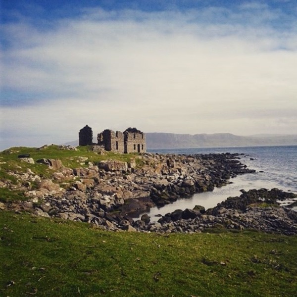
Rathlin Island Roonivoolin Walk
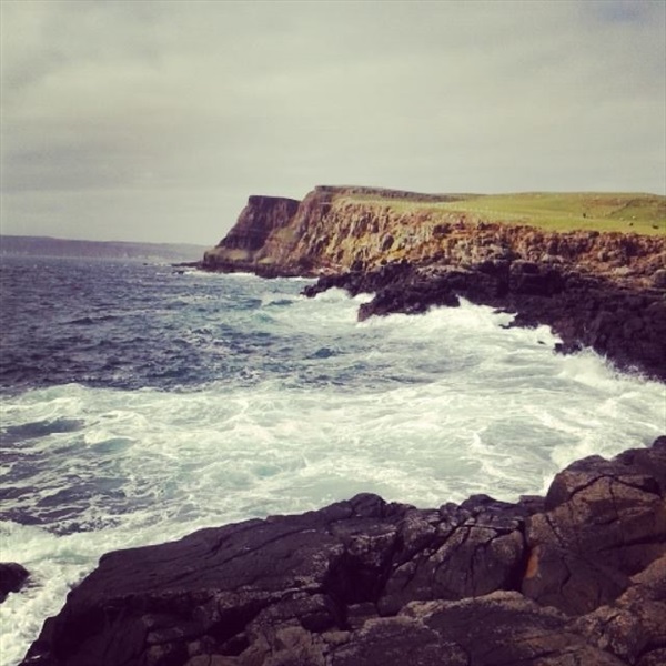
Take the route less travelled on Rathlin Island and venture south to the RSPB Roonivoolin Reserve. Amazing views of the coastline can be enjoyed as well as wildlife such as seals, irish hare and curlew.
TRAIL INFORMATION
TRAIL INFORMATION
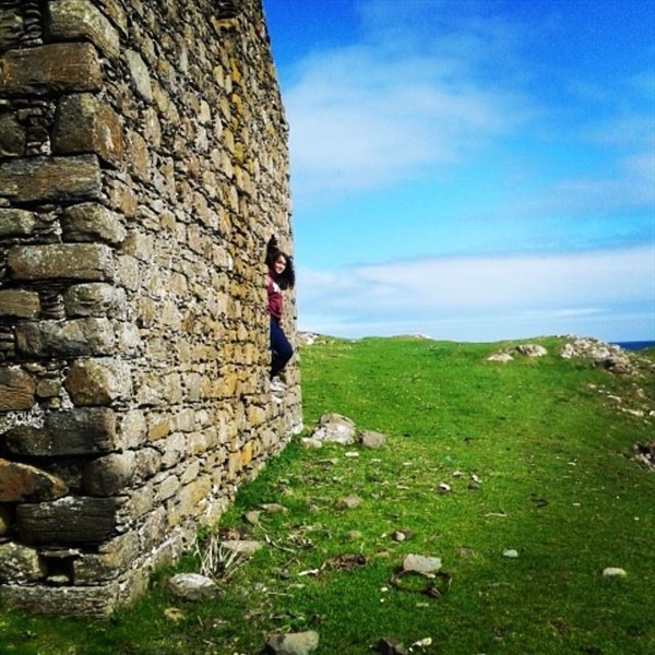
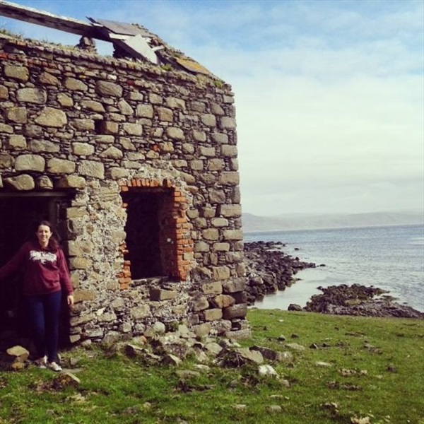
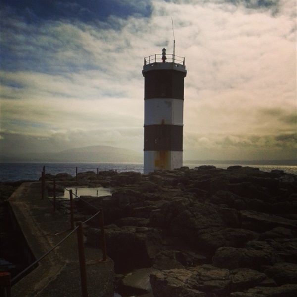
The route begins at Rathlin Harbour. Follow the Shore Road to the right past the Manor House. Continue following the road past Church Bay, the disused Kelp Kiln and Mill Bay. At the end of Mill Bay, bear left to rejoin the straight tarmaced road leading south on the peninsula. Turn right onto this road and continue walking for 500m to meet Craigmacaghan Lough. Follow the route for another 800 metres, where on your right you should come across a wooden gate and a RSPB information panel highlighting the Roonivoolin Reserve. Go through the gate and follow the wooden way markers past Ally Lough on the right and Ushet Lough on the left. Continue following the wooden way markers across the open field, arriving at the fence along the cliff tops. From here stunning views of the cliffs, Church Bay and the Northern Irish coastline can be enjoyed. Continue following the fence in a southerly direction for 700m, to bear left along a fence to bring you back to the tarmac path. Land between the clifftop path and Rue Point Lighthouse is private, if you wish to continue to the lighthouse, follow the tarmac path in a southerly direction to reach the disused Kelp Kiln and the lighthouse. The route back to the harbour follows the tarmac path.
GETTING TO THE START
- Point of Interest Church Bay, Mill Bay, Craigmacaghan Lough, Ushet Lough, Rue Point
- Facilities Cafe, restaurant, public toilets and B + B's are all available at Rathlin Harbour. The following facilities are available for users with limited mobility: – Café (wheelchair accessible) – May to October – Shop – Visitors Centre – May to Sept at Rathlin Harbour – Disabled toilets
- Dog Policy Dogs must be kept on a lead.
- Accessibility Information
Accessibility Grade: Grade 5 Terrain: Tarmaced laneway and open fields Toilet Facility: No Signage: No - Getting to the Start Rathlin Ferries - www.rathlinballycastleferry.com or 028 2076 9299
- Public Transport Translink – journeyplanner.translink.co.uk