3.1 miles
Loop
Riverside Park
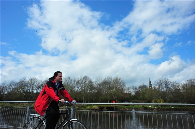
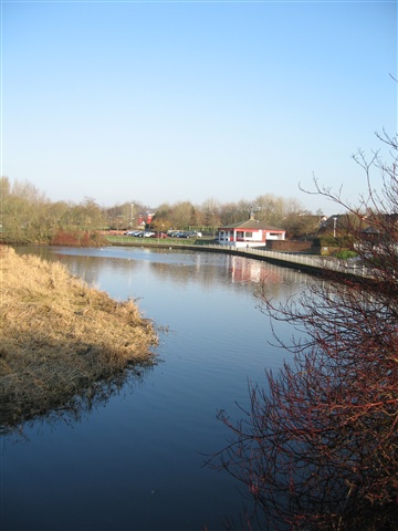
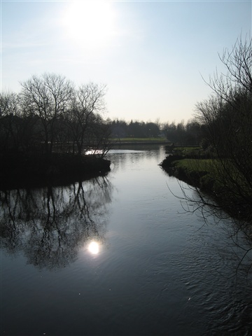
Riverside Park offers a variety of walks through various landscapes including woodland. The Ballymoney River runs through the middle of the park and there are a variety of on site amenities. Includes Highway to Health walk as described separately.
TRAIL INFORMATION
TRAIL INFORMATION
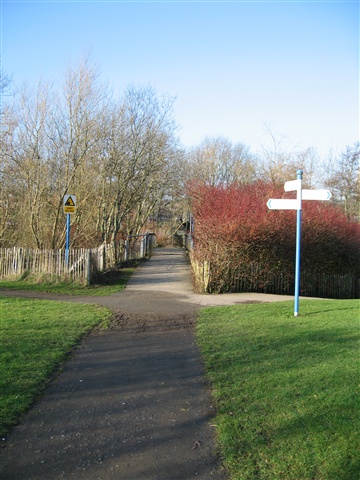
From the car park at Armour Avenue follow the path to the duck pond. From this point you can avail of a number of circular walking routes. Firstly, turning left follow the path past the children's play area and slightly uphill onto a wide shared use path.
Follow this path across a footbridge adjacent to a dog run area and continue until you reach a second footbridge on the left. Cross this turning right at the end and continue through the car park making a right turn onto the Bravallen Road. Continue a short distance then make a right turn back into the park and follow the wide path back to the first footbridge.
At this point you can either retrace your steps to the main car park or follow the small path network to the left and into an area of informal woodland. This brings you out at a bridge at a small weir. Either continue right back to the car park or left around the back of the wildlife sanctuary and fishing platform, this route brings you to a further footbridge. Cross this and turn right back to the car park.
From the main car park you can also enjoy a woodland walk to the right. Turning right follow the path alongside the River, over a bridge and into an underpass exiting into the oldest and most densely wooded section of the park. Continue straight along the path crossing a footbridge adjacent to a second dog run area.
At this point walkers can either follow the riverside path around to the right and cross any of the accommodation bridges back to the underpass and bridge leading back to the main car park, or turn left and add a further section onto the walk.
By turning left walkers can cross another bridge leading to a tunnel under the railway line and follow a shared use path to the right which takes walkers up to the A26 Frocess By-pass road, walkers can then turn left up Kirk Road. After crossing Eastburn Drive, walkers can take a left into Greengage Lane and follow the public footpath network to Greengage Cottages and back to the tunnel under the railway, retracing their steps along the river and back to the main car park.
GETTING TO THE START
- Point of Interest Kingfishers and a good duck pond
- Facilities Two car parks, toilets and childrens play area The following facilities are available for users with limited mobility: – Disabled toilets
- Dog Policy Must be kept on a lead except for specified dog run areas
- Accessibility Information
Accessibility Grade: Grade 3 Terrain: Flat level parkland Toilet Facility: No Signage: No - Getting to the Start From the town centre follow signs for the Joey Dunlop Leisure Centre. At Rodeing Foot take a right turn into Armour Avenue just before Trolan's Garage, the car park is on the right.
- Public Transport Translink – journeyplanner.translink.co.uk