17.5 miles
Loop
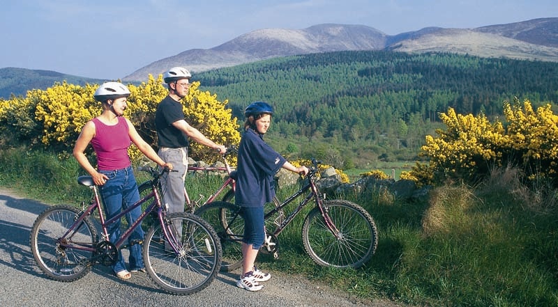
Rostrevor Cycle Route
This is an interesting circular route between the villages of Rostrevor and Hilltown, passing through pleasant countryside with dramatic views of Rostrevor, the Mourne Mountains and Carlingford Lough.
TRAIL INFORMATION
Begin in the village of Rostrevor. Starting in the village at the junction of Mary Street and Greenpark Road, follow the Kilbroney Road uphill through the village, past the chapel on your right, to the junction with the Newtown Road.
Turn right into the Newtown Road which rises steadily uphill through pleasant countryside between the river and the Forest. At the Yellow Water picnic table, there is an opportunity to take a breather alongside the stream. From here cycle uphill through the forest on the main road.
The road now passes through open moorland. At the next junction, continue on the main Sandbank Road on the right until it meets the New Line Road on the left. Retrace your journey back to the junction with the New Line Road and turn into it. At the next junction bear right onto the Leitrim Road and follow it until it meets the main Rostrevor to Hilltown Road. Turn right onto it and follow it into Hilltown.
Leave Hilltown on the main road to Newry but after about only 400 metres turn left onto the Yellow Road (just before the speed limit end sign). After 1.25 miles the road climbs steeply again to the lovely picnic area of Glenmore. Pause a while and enjoy the breathtaking views to the north and east.
After 0.5 mile turn left onto the Lower Knockbarragh Road (the second road on your left). After a short distance the road begins to go downhill following the Ghann River. Continue to follow this road until at a T-Junction it joins the Upper Knockbarragh Road, turn left onto this road which becomes the Greenpark Road and it will take you back into Rostrevor on the shore of Carlingford Lough.
GETTING TO THE START
Starting in Rostrevor at the junction of Mary Street and Greenpark Road where there is parking in the village and it is on the main bus line.
- Facilities You can purchase refreshments before leaving the village of Rostrevor.
- Getting to the Start Starting in Rostrevor at the junction of Mary Street and Greenpark Road where there is parking in the village and it is on the main bus line.
- Traffic Information Some roads can be quite busy at times.
- Bike Hire Providers Life Adventure Centre Castlewellan Life Adventure Centre Grange Courtyard Forest Park Castlewellan Email: iwant@onegreatadventure.com Phone: +44 (0)2843770714 http://www.onegreatadventure.com
- Accessible Facilities Country roads with no obstacles.