1.1 miles
Loop

Easy
Silent Valley Nature Trail

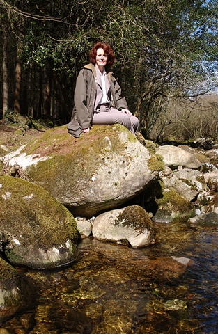
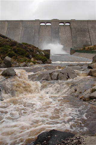
The nature trail is the site of the old railway line that linked Annalong with the Silent Valley reservoir. Visitors can stop at the picnic spot close to the Kilkeel River. Excellent for sightings of wildlife, wild flowers and bird watching. Along the length of the trail you will find signal signs that give you additional information about the area.
TRAIL INFORMATION
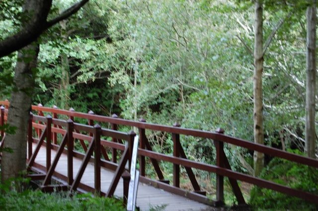
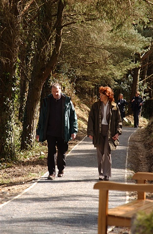
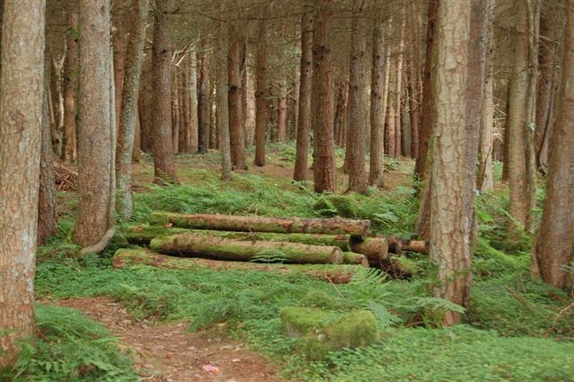
Stone way-markers are in place to help guide you. Follow the green arrows for the Nature Trail from the main car park until you reach a fork. Take the path to the right which takes you over a bridge – an interpretative panel marks the beginning of the Nature Trail. The path then follows the river valley to a boardwalk over an area of lowland heath. Just beyond this, restoration work has recently been completed to remove non-native trees and revitalise the heathland. Beyond this heathland the flat area is the floodplain of the Kilkeel River. The trail then drops down to the river through a narrow wooded corridor. The river is crossed via a wooden bridge and then winds gently upwards through woodland following the line of the old railway and when views of Slieve Binnian open up the trail again joins the footpath leading back to the car park.
TRAIL INFORMATION
Stone way-markers are in place to help guide you. Follow the green arrows for the Nature Trail from the main car park until you reach a fork. Take the path to the right which takes you over a bridge – an interpretative panel marks the beginning of the Nature Trail. The path then follows the river valley to a boardwalk over an area of lowland heath. Just beyond this, restoration work has recently been completed to remove non-native trees and revitalise the heathland. Beyond this heathland the flat area is the floodplain of the Kilkeel River. The trail then drops down to the river through a narrow wooded corridor. The river is crossed via a wooden bridge and then winds gently upwards through woodland following the line of the old railway and when views of Slieve Binnian open up the trail again joins the footpath leading back to the car park.
GETTING TO THE START
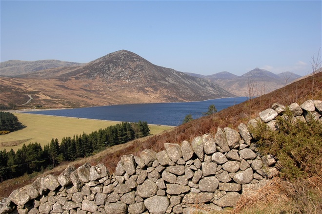
- Point of Interest Spectacular mountain views, highly accessible
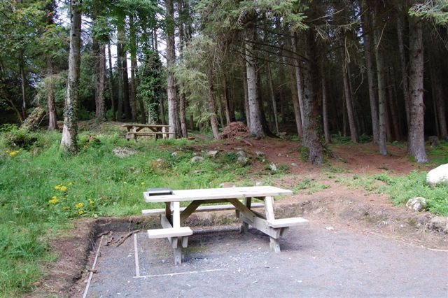
- Facilities Toilet facilities are located in the main car park and there is an information centre and coffee shop nearby. Picnic tables can be found at the end of the Nature Trail at the banks of the Kilkeel River.
- Getting to the Start Starting point is from the main car park at the Silent Valley Reservoir.
- Level of Difficulty Easy TRAIL GRADE DISCLAIMER
The trail grades shown on OutmoreNI.com and WalkNI.com are based on desk-based assessments of available trail information. The categories—Easy, Moderate, Strenuous, and Very Strenuous—follow the Sustainable Trails Development Guide grading system.
These grades are provided as a general guide to help users choose trails that may be suitable for them. They are not a substitute for official, on-site grading or safety information provided by the relevant land manager, which may differ from the information on these websites.
Outdoor activities involve inherent risks, including the risk of injury, death, property damage, and other hazards. By using information from OutmoreNI.com and WalkNI.com, you acknowledge that you do so at your own risk. OutmoreNI.com and WalkNI.com accept no responsibility or liability for any loss, injury, or damage arising from the use of this information.
Conditions on trails can change, and the actual environment may differ from what is described online. Users should always exercise their own judgment, take appropriate precautions, and remain responsible for their own safety and conduct at all times.
All information provided on OutmoreNI.com and WalkNI.com is intended as a guide only and should be used alongside your own experience, awareness, and careful decision-making.
Relatively flat or gently rolling trails with a mostly smooth surface. You might come across some obstacles like bridges, gates and steps.
Normal clothing and footwear can be worn.