0.9 miles
Linear
Skernaghan Point
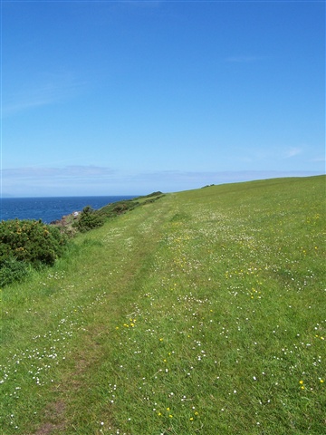
This is a path that goes over a variety of uneven terrain including a grassy field and a rocky coastline which is steep in places. Dogs should be kept on a lead.
TRAIL INFORMATION
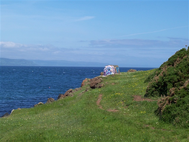
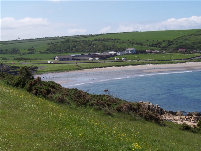
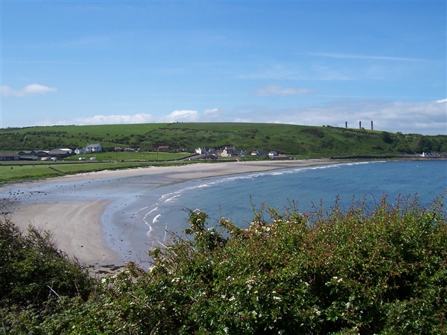
From Brown's Bay Beach follow the promenade along to the right and up the stoney path towards Skernaghan Point. This path then gives way to a well-worn grassy track which can be muddy in places. Follow the coastline either at sea level or from the vantage of the field at the top. The land is owned by The National Trust. The only indication that you have finished the walk is a fenceline and there is no signage or any other instruction. From here retrace your steps back to the start.
TRAIL INFORMATION
From Brown's Bay Beach follow the promenade along to the right and up the stoney path towards Skernaghan Point. This path then gives way to a well-worn grassy track which can be muddy in places. Follow the coastline either at sea level or from the vantage of the field at the top. The land is owned by The National Trust. The only indication that you have finished the walk is a fenceline and there is no signage or any other instruction. From here retrace your steps back to the start.
GETTING TO THE START
- Point of Interest Coastal views
- Facilities Browns Bay car park has toilets. Steele's shop has some provisions.
- Accessibility Information
Accessibility Grade: Grade 5 Terrain: Grassy slopes and rocky paths Toilet Facility: No Signage: No - Getting to the Start B90 through Islandmagee. Passenger Ferry from Larne Tel: (028) 2827 3785. NB: Ferry is very small