2.9 miles
Linear
Very Strenuous
Slieve Donard (via Glen River)
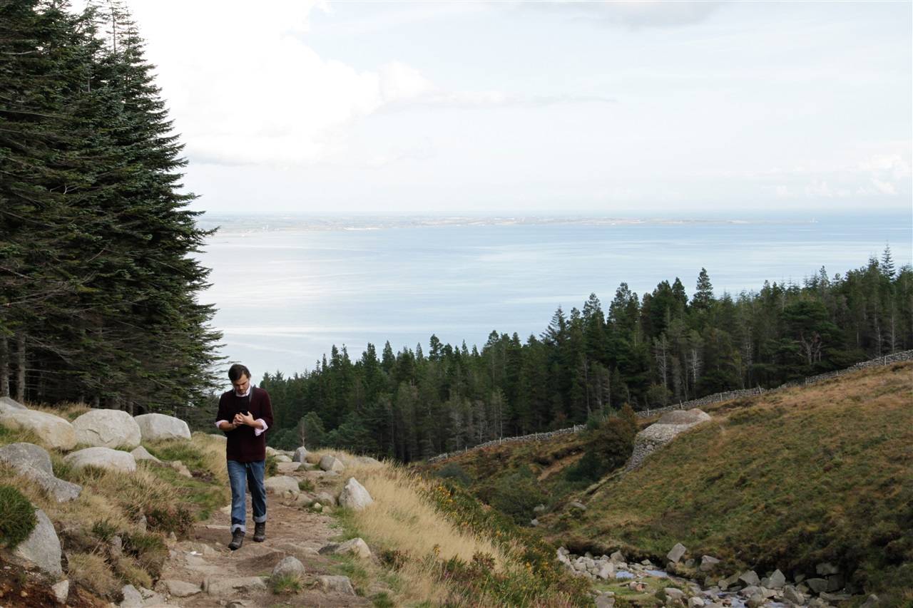
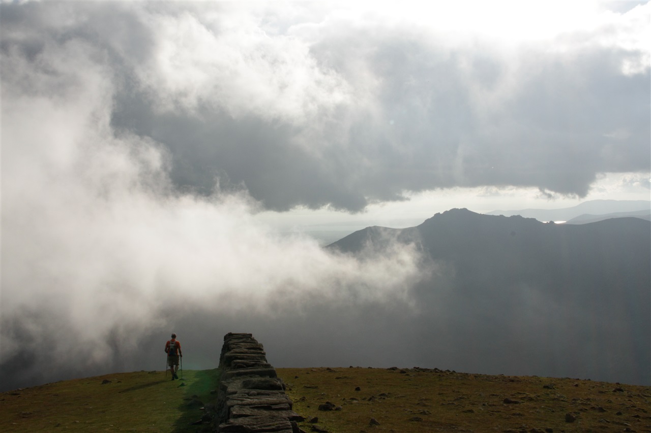
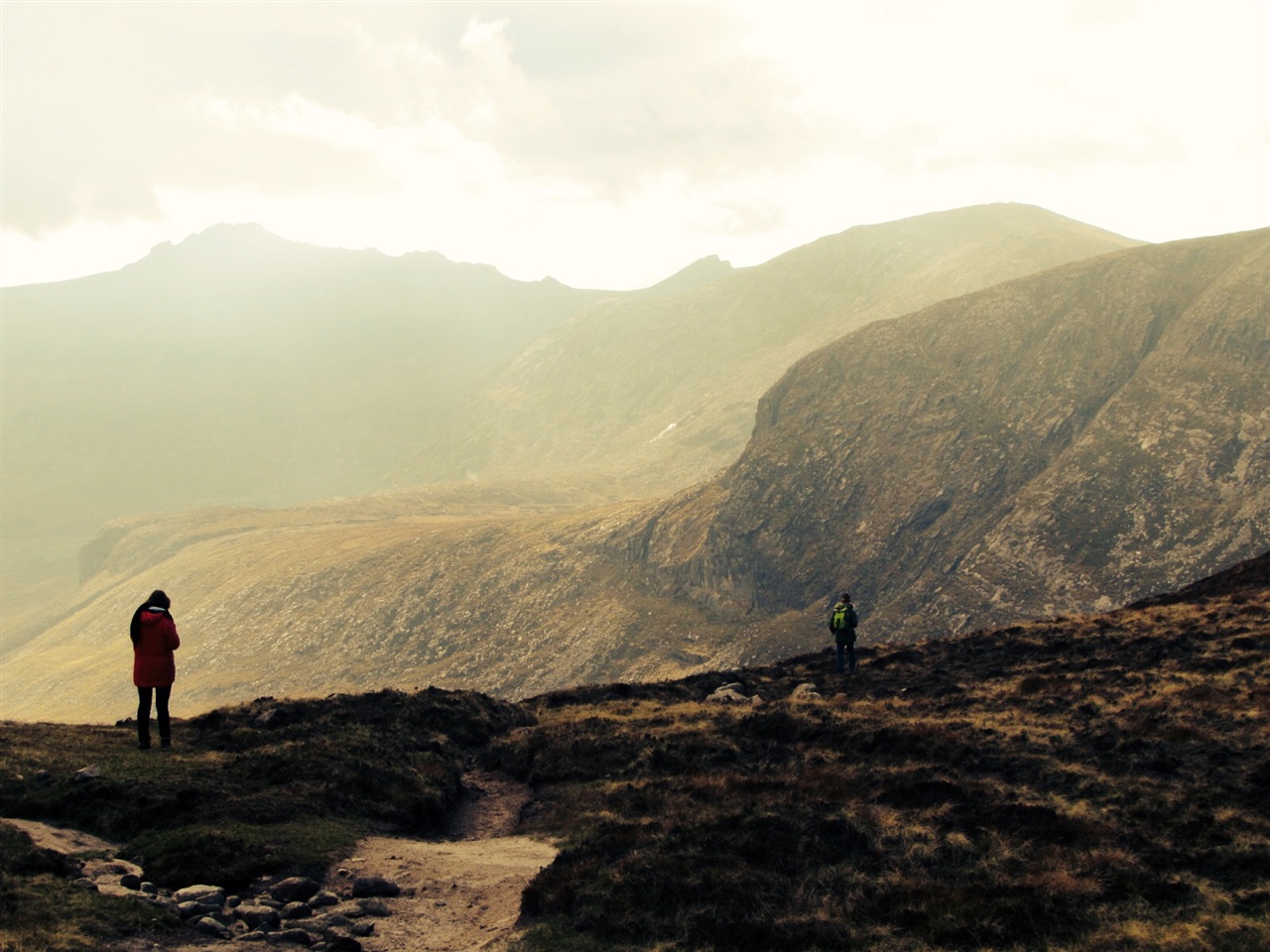
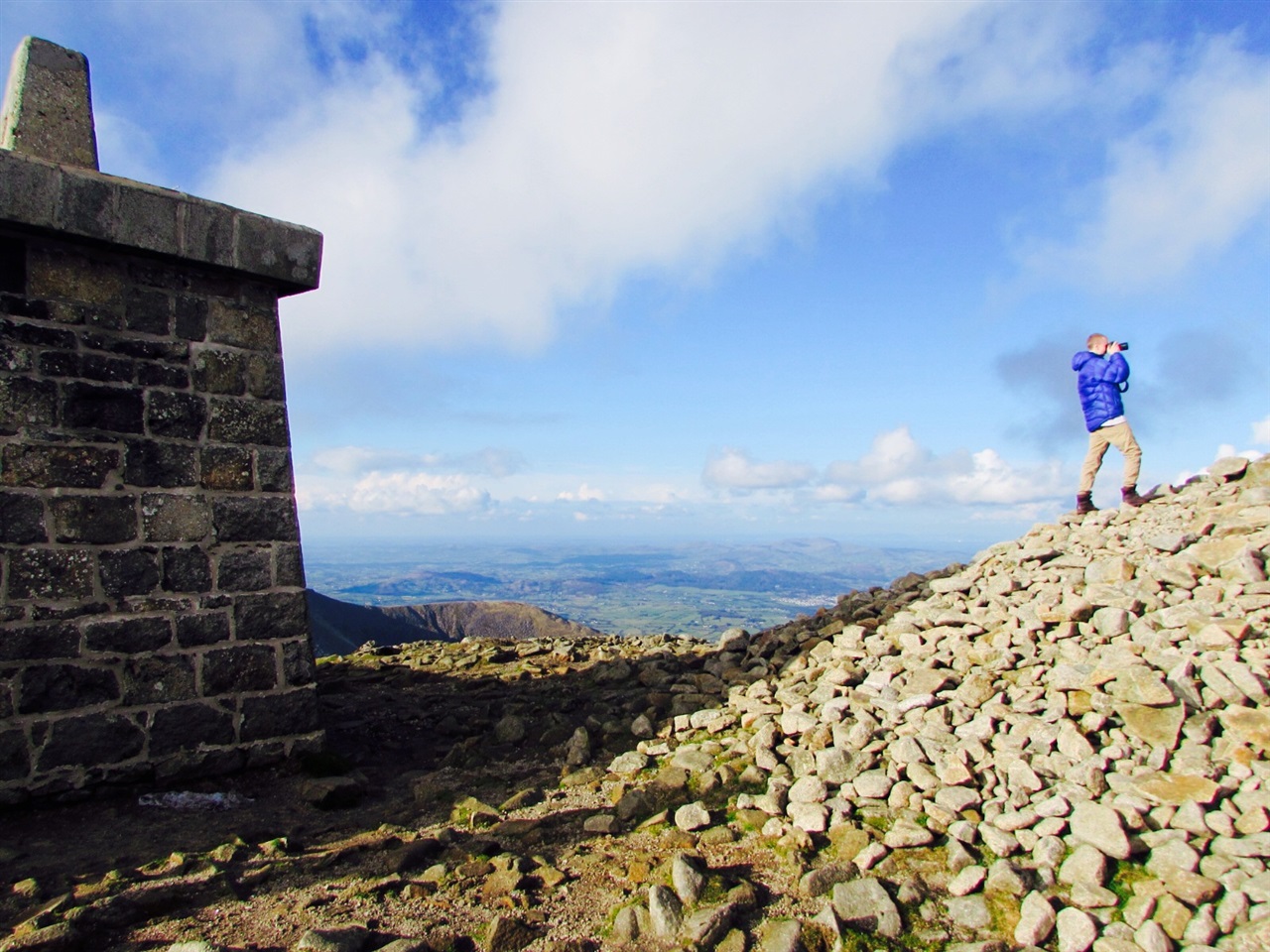
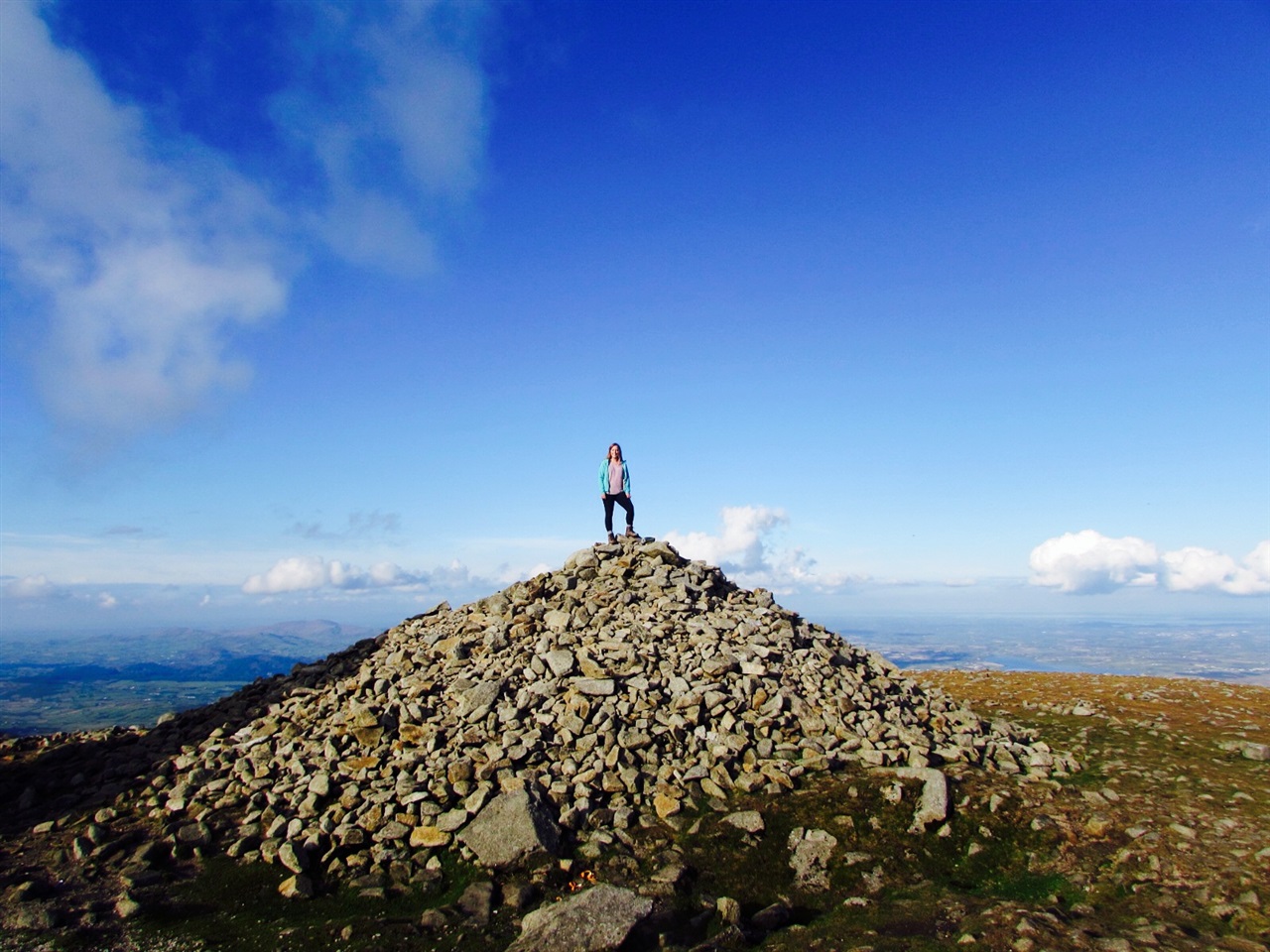
Slieve Donard at 850m (2,789 ft) is the highest of the Mourne Mtns. The views from the summit are extensive and on a clear day the Isle of Man, Wicklow, Donegal, Wales and Scotland may be seen, as well as the long stretch of Newcastle Beach.
TRAIL INFORMATION
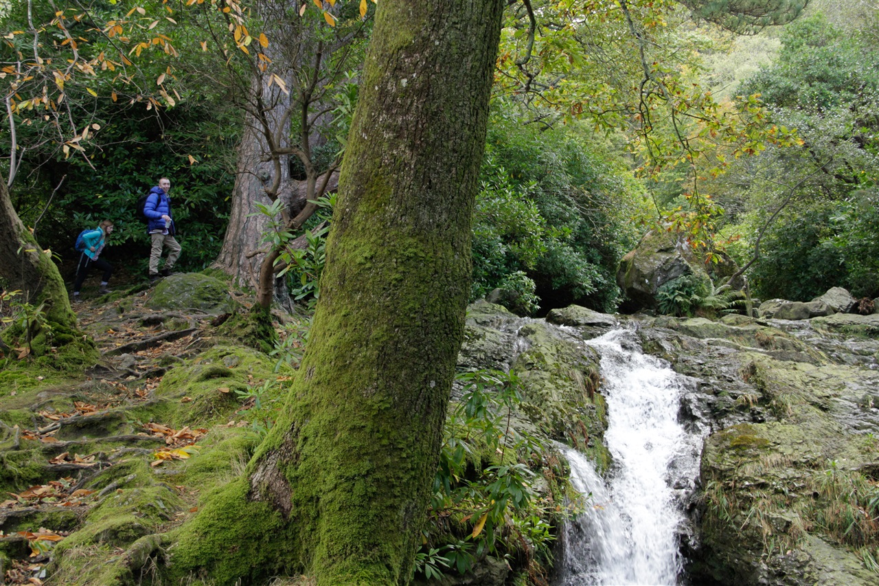
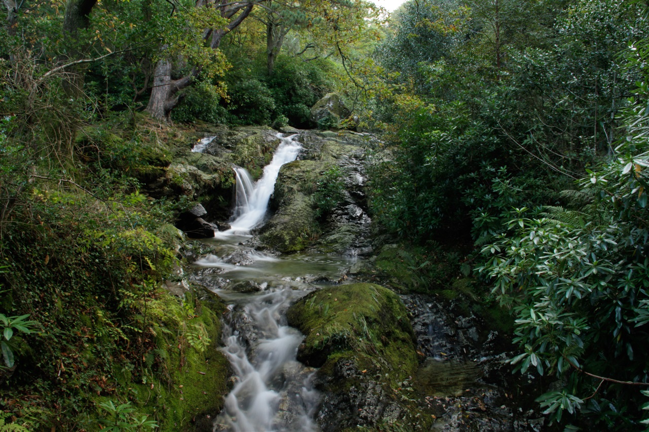
Leave the car park in Donard Park heading towards the mountain and follow the Glen River uphill through old woodland of Scots Pine, Oak and Birch. At the first of 3 bridges, cross to the opposite bank.
Continue uphill through the forest, above a deep cut riverbed, for about 400m until another bridge is reached. The riverbank overhangs along this section so extra care is needed.
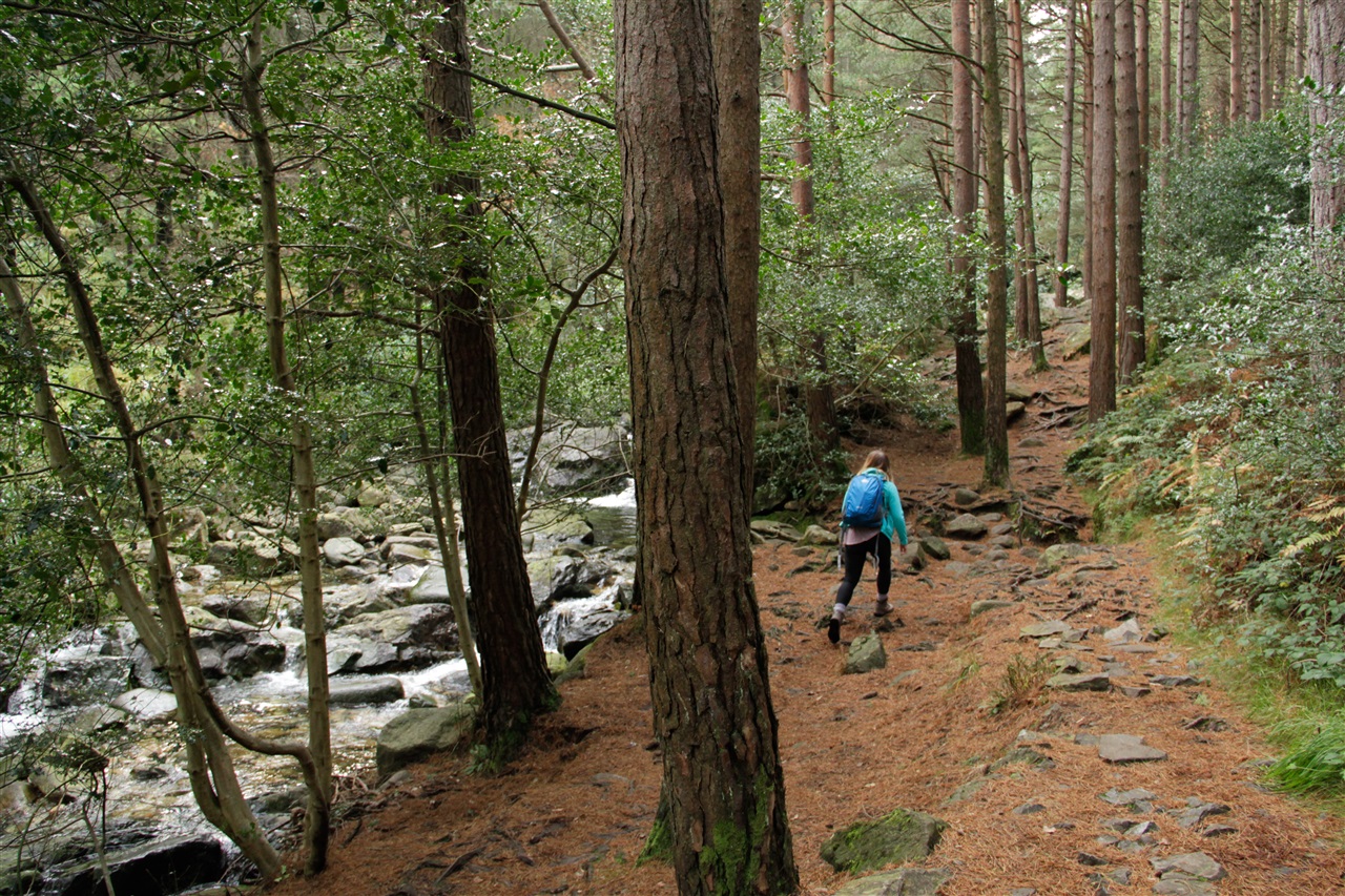
At this point cross back to the left hand side and resume journey uphill through the trees.
At the next bridge continue across the forest road and onto the rough track heading up towards the mountains, with thick forest on right (fenced), until a gate and stile is reached.
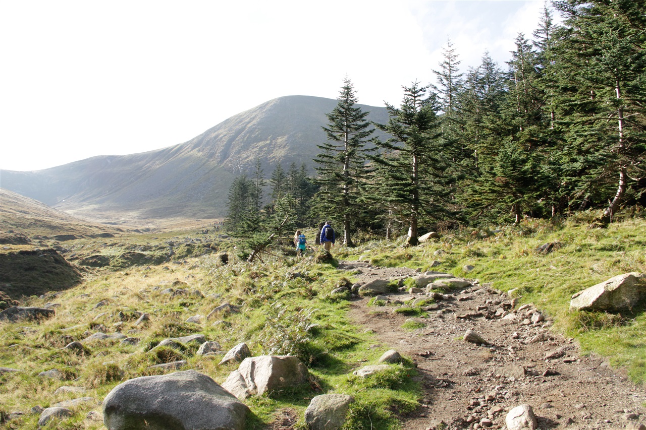
Cross the stile and follow the track above the river for about 2kms, heading towards the saddle between Donard and Commedagh.
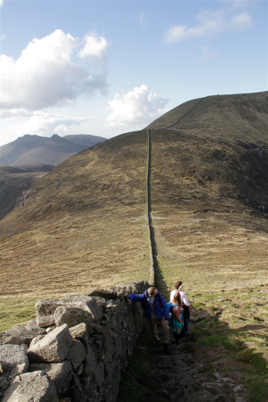
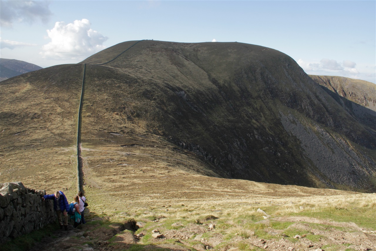
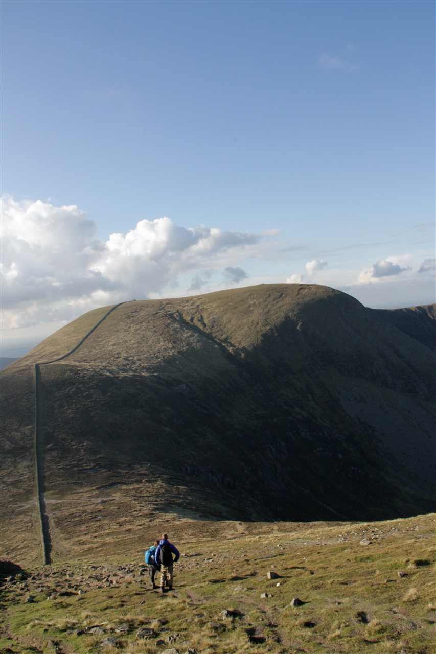
At this point, the path crosses the river and continues uphill to the 'Saddle' where it meets the Mourne Wall.
At the Mourne Wall turn left and follow the wall steeply uphill towards the summit.
From the summit return by the same route, staying close to the wall until the Saddle is reached again. The cliffs on the north side of Donard known as Eagle Rocks should be avoided by walkers since the approaches are steep.
Return to Donard Park following the line of the Glen River.
TRAIL INFORMATION
Leave the car park in Donard Park heading towards the mountain and follow the Glen River uphill through old woodland of Scots Pine, Oak and Birch. At the first of 3 bridges, cross to the opposite bank.
Continue uphill through the forest, above a deep cut riverbed, for about 400m until another bridge is reached. The riverbank overhangs along this section so extra care is needed.
At this point cross back to the left hand side and resume journey uphill through the trees.
At the next bridge continue across the forest road and onto the rough track heading up towards the mountains, with thick forest on right (fenced), until a gate and stile is reached.
Cross the stile and follow the track above the river for about 2kms, heading towards the saddle between Donard and Commedagh.
At this point, the path crosses the river and continues uphill to the 'Saddle' where it meets the Mourne Wall.
At the Mourne Wall turn left and follow the wall steeply uphill towards the summit.
From the summit return by the same route, staying close to the wall until the Saddle is reached again. The cliffs on the north side of Donard known as Eagle Rocks should be avoided by walkers since the approaches are steep.
Return to Donard Park following the line of the Glen River.
GETTING TO THE START
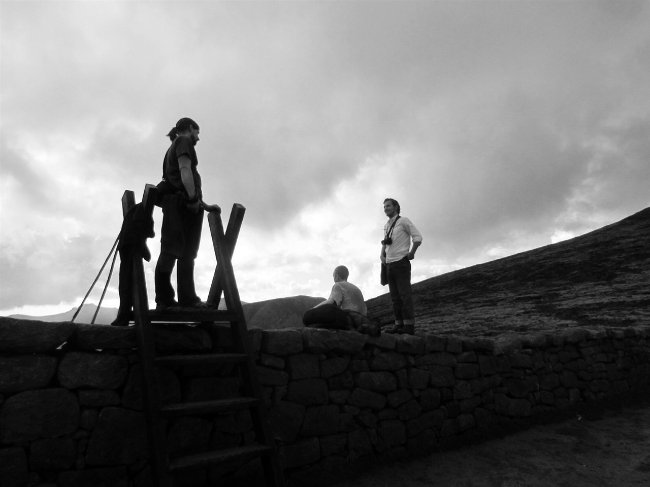
- Point of Interest Views from summit
- Facilities Toilets and parking in Donard Park. Refreshments in Newcastle.
- Dog Policy Dogs must be kept on leads
- Accessibility Information
Accessibility Grade: Grade 5 Terrain: Mainly forest and mountain paths Toilet Facility: No Signage: No - Getting to the Start Follow the one way system to the south end of Newcastle main street. Donard Car Park has ample parking.
- Level of Difficulty
 Very Strenuous TRAIL GRADE DISCLAIMER
 The trail grades shown on OutmoreNI.com and WalkNI.com are based on desk-based assessments of available trail information. The categories—Easy, Moderate, Strenuous, and Very Strenuous—follow the Sustainable Trails Development Guide grading system.
These grades are provided as a general guide to help users choose trails that may be suitable for them. They are not a substitute for official, on-site grading or safety information provided by the relevant land manager, which may differ from the information on these websites.
Outdoor activities involve inherent risks, including the risk of injury, death, property damage, and other hazards. By using information from OutmoreNI.com and WalkNI.com, you acknowledge that you do so at your own risk. OutmoreNI.com and WalkNI.com accept no responsibility or liability for any loss, injury, or damage arising from the use of this information.
Conditions on trails can change, and the actual environment may differ from what is described online. Users should always exercise their own judgment, take appropriate precautions, and remain responsible for their own safety and conduct at all times.
All information provided on OutmoreNI.com and WalkNI.com is intended as a guide only and should be used alongside your own experience, awareness, and careful decision-making.
Physically demanding trails requiring a high level of fitness and experience. Expect sustained steep climbs and descents, rough and uneven terrain, and significant physical effort throughout.
Outdoor clothing and sturdy footwear are essential.