1.8 miles
Loop

Moderate
Somerset Forest

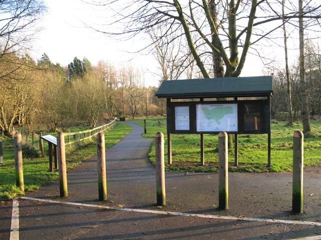
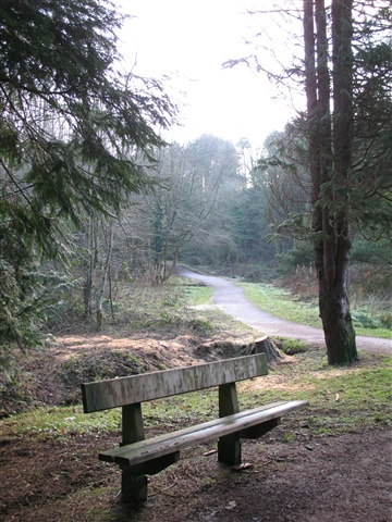
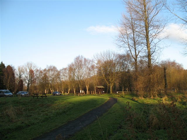
Somerset Forest is located on the south western boundary of Coleraine. Within the forest there is a range of walks of varying lengths and degrees of difficulty. There is a short circular route to "Millennium Miles" standard, suitable for less able users. The paths are also suitable for jogging in conjunction with exercise apparatus situated in a fitness cluster close to the car park
TRAIL INFORMATION
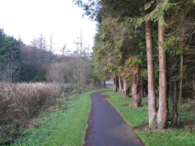
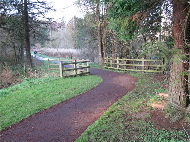
From the car park there are two waymarked paths that lead through a wide variety of broadleaved and conifer trees. These paths can be used for jogging. There is also a fitness cluster of exercise apparatus situated next to the car park. Guidance on how to use it safely and effectively is given on an illustrated lectern.
TRAIL INFORMATION
From the car park there are two waymarked paths that lead through a wide variety of broadleaved and conifer trees. These paths can be used for jogging. There is also a fitness cluster of exercise apparatus situated next to the car park. Guidance on how to use it safely and effectively is given on an illustrated lectern.
GETTING TO THE START
- Point of Interest Herons, squirrels, other wildlife
- Facilities Refreshments and toilets available in Coleraine.
- Accessibility Information
Accessibility Grade: Grade 2 Terrain: Gravel paths, easy walking Toilet Facility: No Signage: No - Getting to the Start Somerset Forest is located one mile south of Coleraine on the A54 Kilrea Road.
- Trail Grade Moderate TRAIL GRADE DISCLAIMER
The trail grades shown on OutmoreNI.com and WalkNI.com are based on desk-based assessments of available trail information. The categories—Easy, Moderate, Strenuous, and Very Strenuous—follow the Sustainable Trails Development Guide grading system.
These grades are provided as a general guide to help users choose trails that may be suitable for them. They are not a substitute for official, on-site grading or safety information provided by the relevant land manager, which may differ from the information on these websites.
Outdoor activities involve inherent risks, including the risk of injury, death, property damage, and other hazards. By using information from OutmoreNI.com and WalkNI.com, you acknowledge that you do so at your own risk. OutmoreNI.com and WalkNI.com accept no responsibility or liability for any loss, injury, or damage arising from the use of this information.
Conditions on trails can change, and the actual environment may differ from what is described online. Users should always exercise their own judgment, take appropriate precautions, and remain responsible for their own safety and conduct at all times.
All information provided on OutmoreNI.com and WalkNI.com is intended as a guide only and should be used alongside your own experience, awareness, and careful decision-making.
Routes with a varying range of climbs and descents, loose and uneven surfaces. Expect a few, large obstacles such as stiles and steps. A good level of fitness and self-reliance is recommended.