45.1 miles
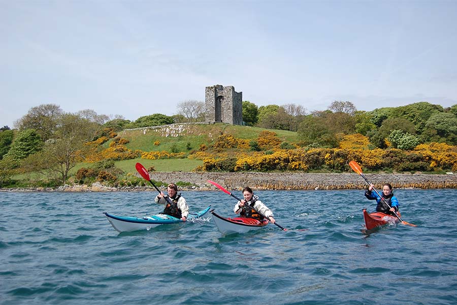
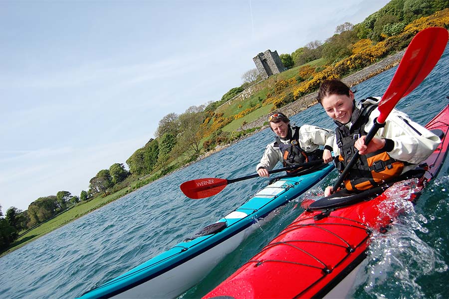
Strangford Lough
This island-studded sea lough is the largest inlet in the UK and Ireland covering 80 square nautical miles. It is approached from the Irish Sea through the (5 nautical mile) fast-running tidal narrows which open out into more gentle waters.
The Viking invaders who arrived in their long boats through the fast flowing waters called ‘The Narrows’ bestowed the name Strangfjörthr or ‘place of strong currents’. This is the section of the canoe trail that requires a high level of expertise and it provides an excellent challenge for the experienced paddler!
The Routen Wheel is a series of whirlpools, boils and swirling waters, which is caused by pinnacles of rock on the seabed.This area should be treated with the utmost caution.
By contrast, the calmer waters of the main shallow basin further north gave this Lough its old Irish name, Lough Cuan, meaning sheltered haven. Here paddlers will find a myriad of channels and routes to explore, as well as the chance to discover some of the country’s finest scenery.
Designated as Northern Ireland's first Marine Nature Reserve, Strangford Lough is internationally renowned for its abundance and diversity of habitats and species. Over 200 marine animal and plant species have been found, most unique to this area. Look out for seals, Arctic Terns, Irish Hares, porpoises and much more!
This trail guide has been designed for canoeists by canoeists. It provides practical information including official access points, campsites and tidal details.
Happy Paddling!
Please note: Although many of the islands are accessible in spring and summer, some of them become breeding grounds for important and vulnerable bird species and therefore access is not permitted to certain islands at these times. More details can be obtained from The National Trust Warden on +44 (0)28 4488 1411.
- Access Egress Points Full details can be found at http://www.canoeni.com/canoe-trails/strangford-lough/
- Suitable For The Strangford Lough Canoe Trail is suitable for canoeists of all abilities, its just a matter of knowing where (and where not) to go. For those less experienced the western side of the lough between Whiterock and Killyleagh is perfect, the group of islands known as the ‘basket of eggs’ offer a myriad of channels and routes to explore. The south west area around Delamont Country Park and Salt Island also offer sheltered waters for paddling. Mention of ‘The Narrows’ always brings a sharp intake of breath from even the most experienced paddlers. The fast flowing tidal waters include the Routen Wheel, a series of whirlpools, boils and swirling water, which is caused by pinnacles of rock on the seabed. Although fine close to high and low tides, outside these times it is best avoided.
- Safety Canoeing is an adventure sport and as such should be treated with respect. If you are new to the sport, it is advisable to join an organized club or take some lessons with a canoeing provider, both options will offer expert coaching. Full details can be found at www.canoeni.com