0.8 miles
Loop
Tannyranny
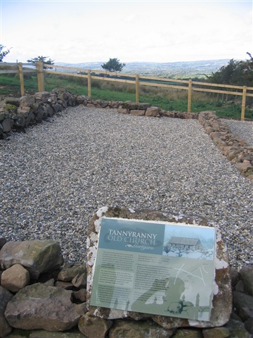
Short route along public road then climbs a lane to the open mountain side of Benbradagh. Countour along mountain to site of Tannyranney old church. Great views to the Sperrins, Roe Valley and Lough Foyle. No dogs as sheep grazing on mountain.
TRAIL INFORMATION
TRAIL INFORMATION
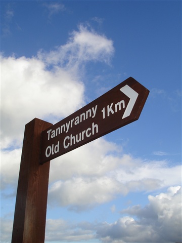
From Gelvin Community Hall turn left along the B64 Legavallon Road towards Dungiven. Turn left at the finger post and follow the lane as it climbs the north slopes of Benbradagh through two sets of gates. At the second set of gates continue right along a rough track along the countour of the mountain until you meet Tannyranny Old Church. To return retrace your steps to Gelvin.
GETTING TO THE START
From Dungiven take the B64 Legavallon Rd. Gelvin Community Hall is 3 miles along the road on your right.
- Point of Interest WALK Old Church, Benbradagh Mountain
- Facilities Toilets & refreshments in Dungiven
- Getting to the Start From Dungiven take the B64 Legavallon Rd. Gelvin Community Hall is 3 miles along the road on your right.


