1.6 miles
Loop
Tobar Mhuire Heritage Cycling Trail
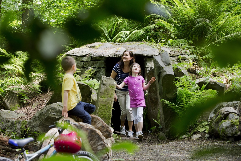
The Heritage Trail explores the entire grounds of Tobar Mhuire Estate through a multitude of different habitats from woodland to rough grassland, parkland and shrubbery. As well as enjoying the peace and quiet of the estate, cyclists have plenty of opportunities to stop and learn about the heritage through interpretation.
TRAIL INFORMATION
From the trail head in the rear car park follow the way markers in a clockwise direction gently winding and twisting through Tobar Mhuire Estate. The circular trail first explores the lower woods of the Estate stopping at Mary's Well for a well-earned break before proceeding and crossing the main avenue. From here the trail takes you through an area of rough grassland and wildflowers climbing up to the Mourne Mountains Viewpoint. The trail then explores the top wooded area before descending again through grassland into the ancient forest of Kilmore below. You pass through a wrought iron again and shortly after arrive back at the starting point. The paths are compacted gravel approximately 1m in width and with less than 5% gradient. Mostly flat with 2 sections of switch-back turns ascending and descending a top wooded area.
GETTING TO THE START
By Car - From Belfast take the A24 to Carryduff and then the A7 to Crossgar. Upon reaching the roundabout turn left along the B7 Killyleagh Road and continue until St Colmcille's on the right hand side. Immediately after the school turn right along the New Line. The car park for the trail head is located 200 metres down the lane on the right.
- Facilities Car parking is available at the trailhead. Toilets provided at Tobar Mhuire Retreat & Conference Centre. Cafes, toilets and shops located in Crossgar village.
- Getting to the Start By Car - From Belfast take the A24 to Carryduff and then the A7 to Crossgar. Upon reaching the roundabout turn left along the B7 Killyleagh Road and continue until St Colmcille's on the right hand side. Immediately after the school turn right along the New Line. The car park for the trail head is located 200 metres down the lane on the right.
- Traffic Information N/A
- Accessible Facilities This trail is Category 3 multi-use trail meaning it is suitable for most but not all abilities. The trail is a minimum 1m wide with lines of sight up to 20m. It is a consistent level surface in most places with 2 areas of ascent and descent with a gradient of 5% making it suitable for wheelchairs and mobility scooters.