1.6 miles
Loop
Easy
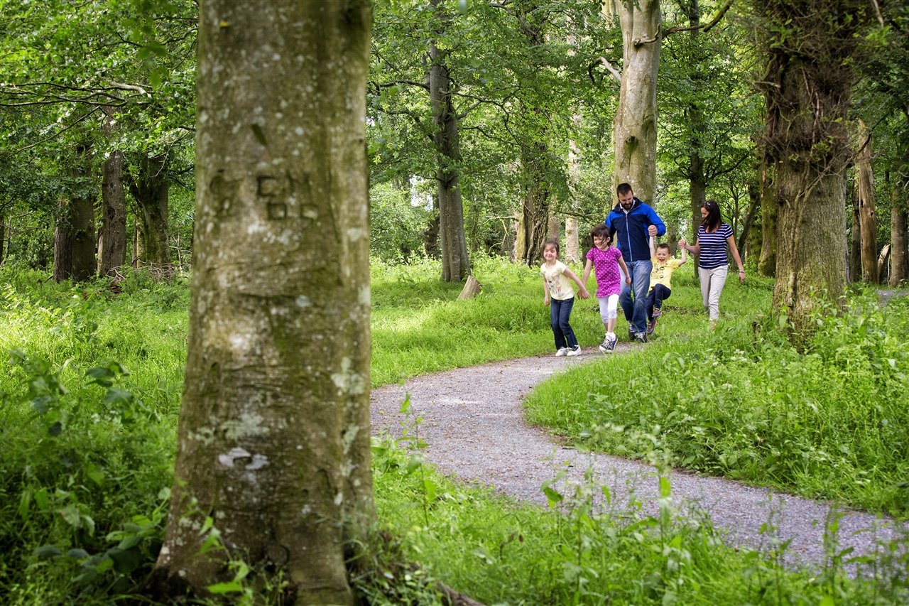
Tobar Mhuire Heritage Trail
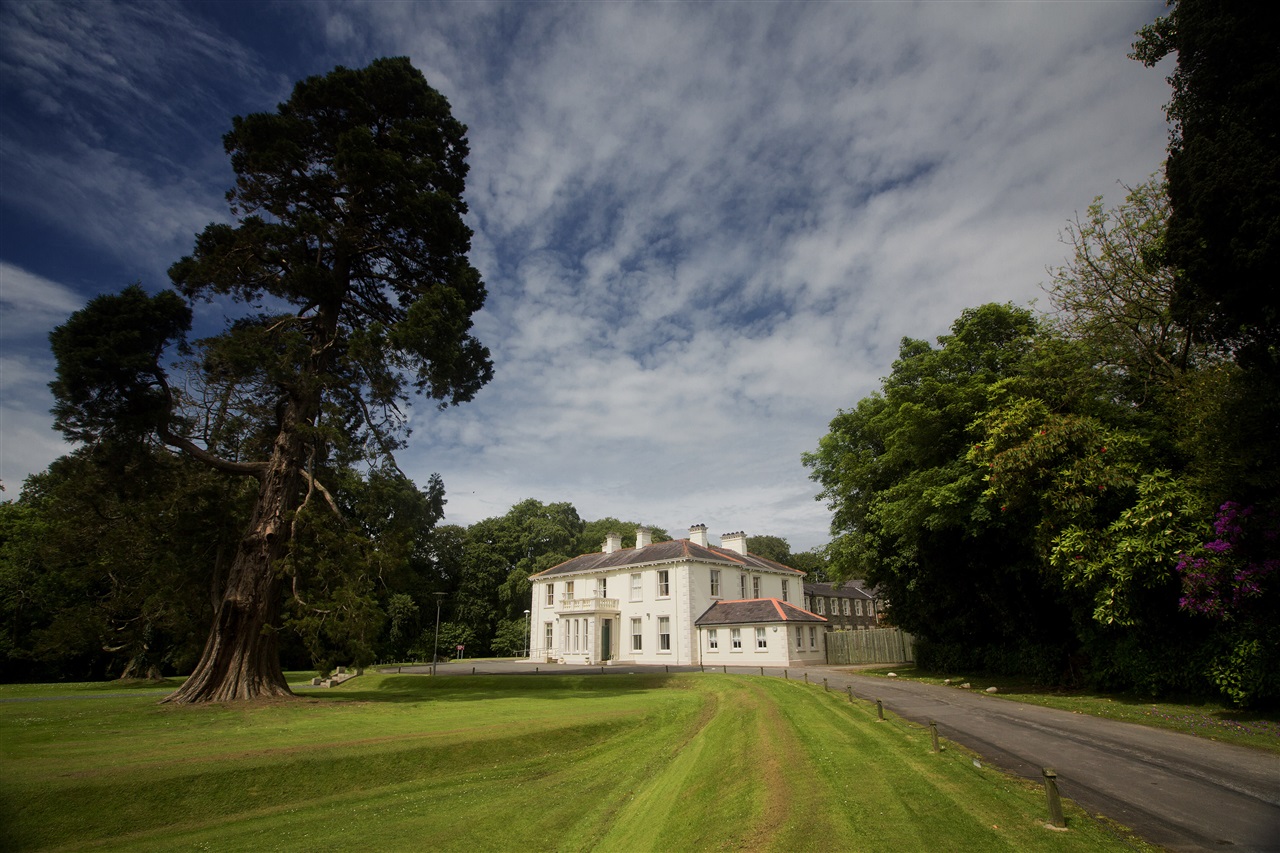
Tobar Mhuire is a retreat centre in the heart of Crossgar, set in 55 acres of woodland. Visitors can enjoy a relaxing stroll through the grounds exploring some of the unique heritage including Mary's Well (a holy well), Victorian walled garden and a spectacular view of the Mourne Mountains and Co Down landscape.
TRAIL INFORMATION
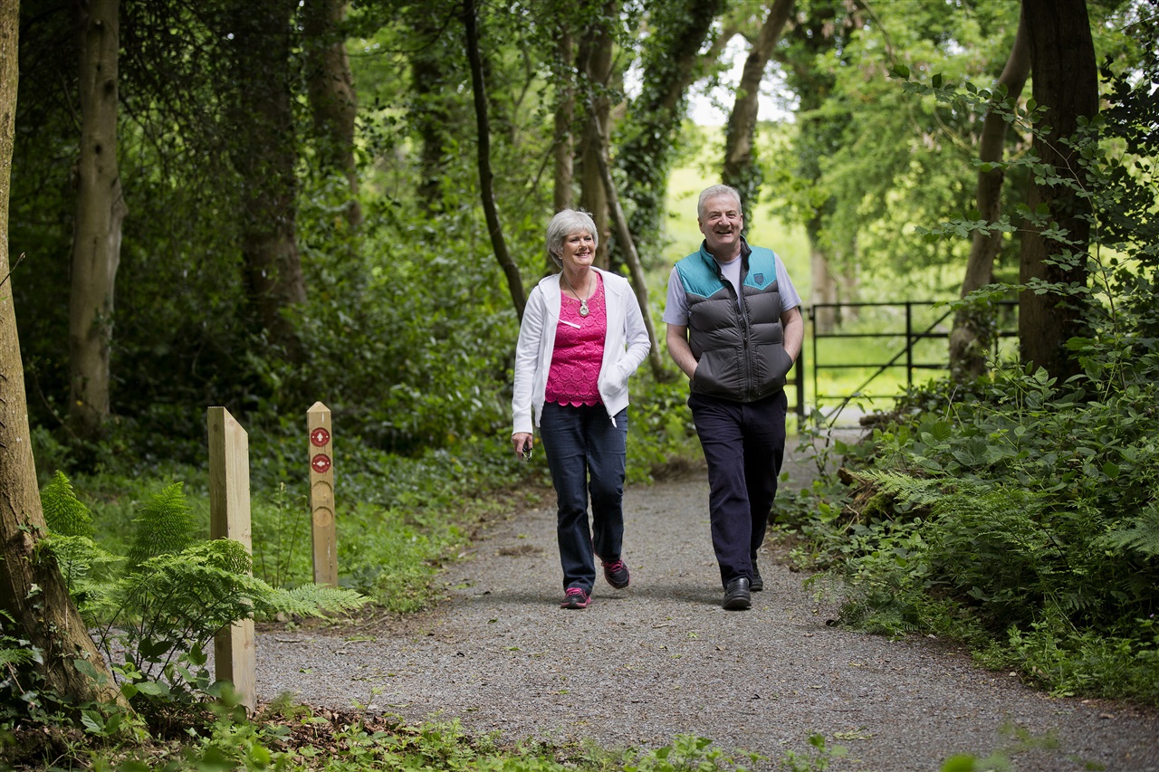
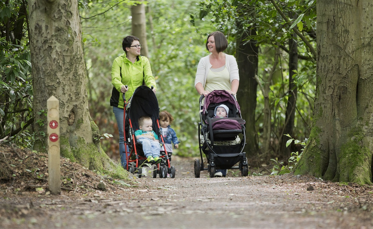
Starting in the car park behind the walled garden the trail is travelled in an anticlockwise direction following the waymarkers. The trail begins through a wooded area to the rear of St Colmcilles high School. (At weekends car parking and trail access are available from the main car park, accessed off the Downpatrick Road)
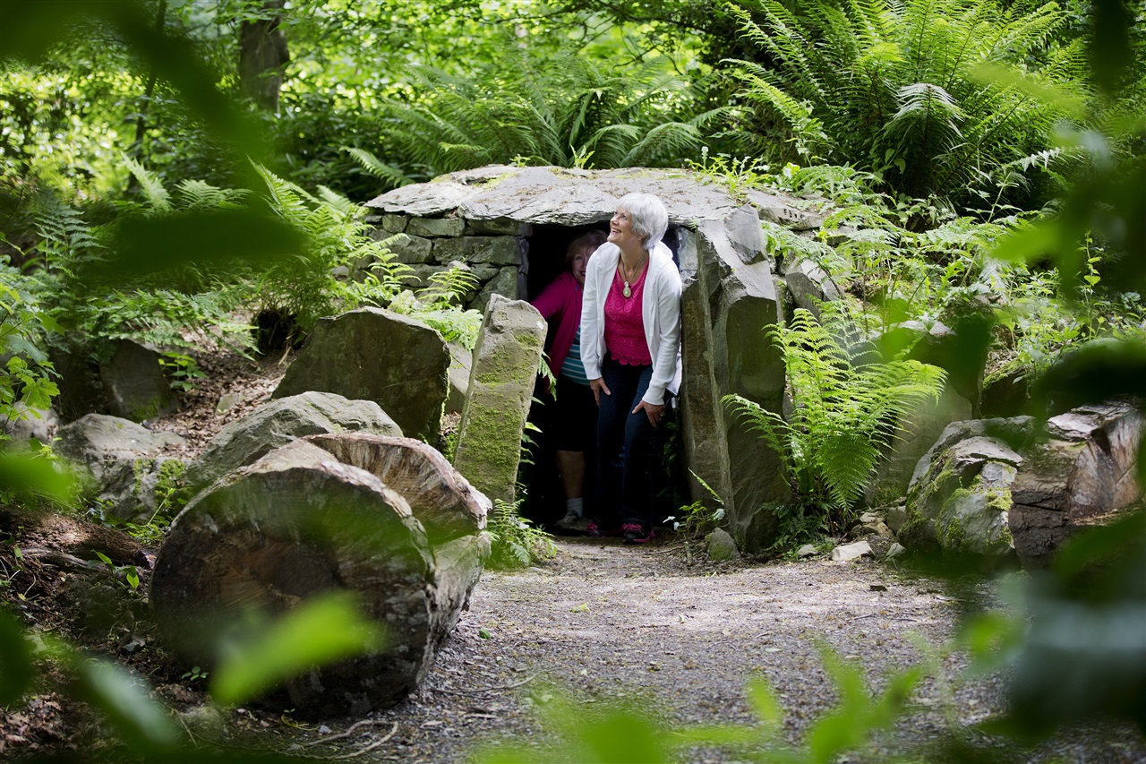
Upon reaching the driveway, cross over and look out for a foundation which was the military outlook post when British and American troops occupied the grounds in WWII. Follow the path through an area of dense rhododendron with the option of taking the shorter route directly to ‘Mary’s Well’ (a holy well) translated into Irish means ‘Tobar Mhuire’. From here continue along the path, crossing the main driveway to either proceed up the hill or take a short detour left for a view of the original Crossgar House. Please note: this section of the trail is linear and visitors will need to retrace their steps to continue the trail up the hill.
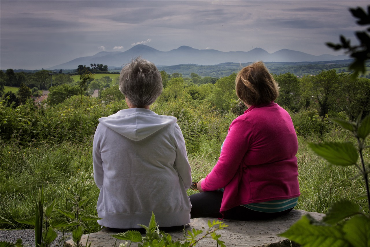
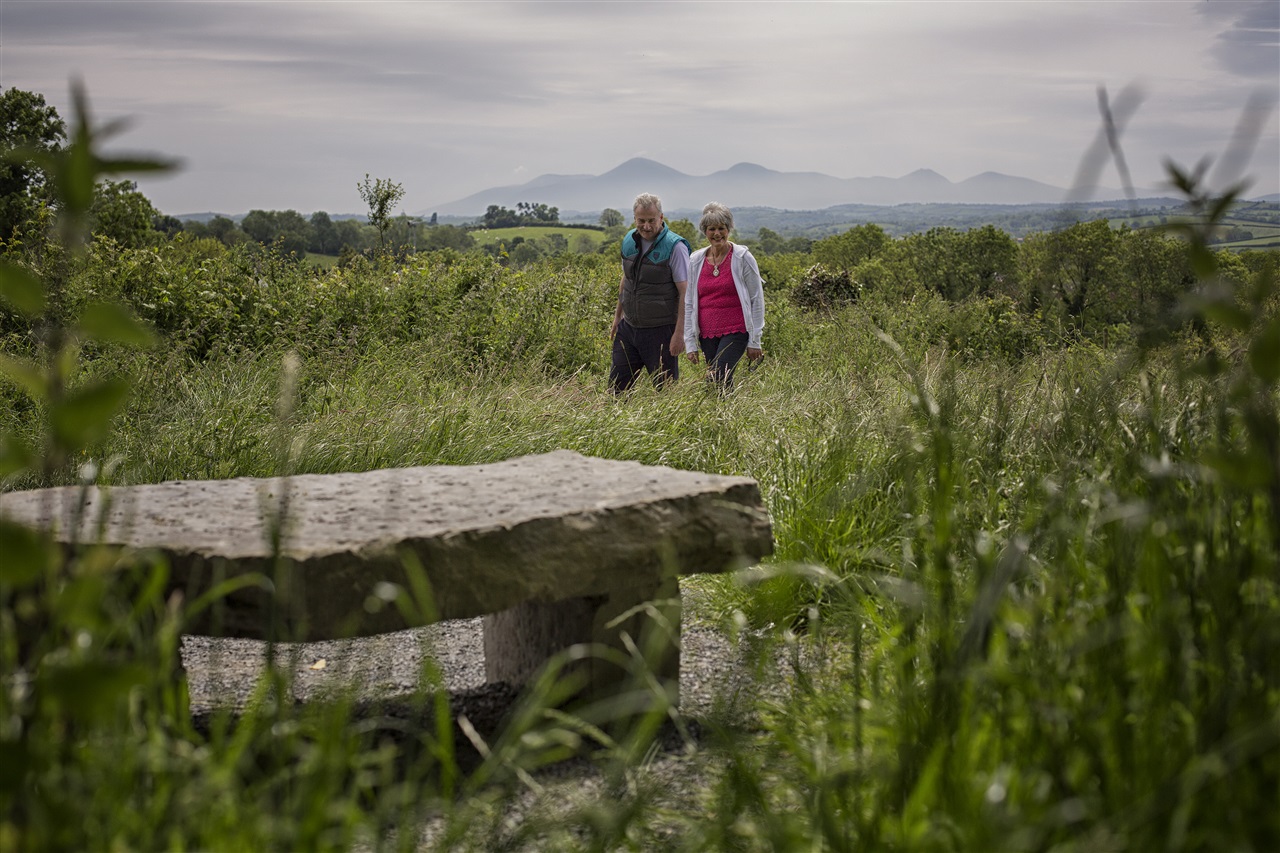
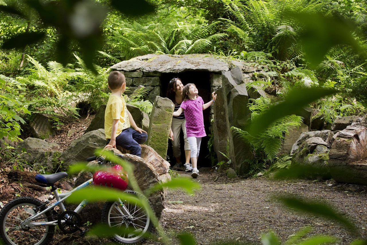
The trail then winds its way up the hill to the seated viewpoint area affording visitors a spectacular view of the Mournes (on a clear day!). The trail then proceeds through the wooded area where there is plenty of opportunities to explore and play, after which the trail descends down the hill and back to the car park.
Visitors are also welcome to visit the Walled Garden to enjoy the newly restored pond and look upon the impressive glasshouse - permission via Retreat Centre.
TRAIL INFORMATION
Starting in the car park behind the walled garden the trail is travelled in an anticlockwise direction following the waymarkers. The trail begins through a wooded area to the rear of St Colmcilles high School. (At weekends car parking and trail access are available from the main car park, accessed off the Downpatrick Road)
Upon reaching the driveway, cross over and look out for a foundation which was the military outlook post when British and American troops occupied the grounds in WWII. Follow the path through an area of dense rhododendron with the option of taking the shorter route directly to ‘Mary’s Well’ (a holy well) translated into Irish means ‘Tobar Mhuire’. From here continue along the path, crossing the main driveway to either proceed up the hill or take a short detour left for a view of the original Crossgar House. Please note: this section of the trail is linear and visitors will need to retrace their steps to continue the trail up the hill.
The trail then winds its way up the hill to the seated viewpoint area affording visitors a spectacular view of the Mournes (on a clear day!). The trail then proceeds through the wooded area where there is plenty of opportunities to explore and play, after which the trail descends down the hill and back to the car park.
Visitors are also welcome to visit the Walled Garden to enjoy the newly restored pond and look upon the impressive glasshouse - permission via Retreat Centre.
GETTING TO THE START
- Point of Interest Monastery, St Mary's Well (Holy Well), views of the Mournes, Victorian walled garden
- Facilities Car parking at the start of the walk. Toilets provided in Tobar Mhuire Retreat Centre. Refreshments and shops in Crossgar.
- Dog Policy Must be kept under control; on a leash
- Accessibility Information
Accessibility Grade: Grade 3 Terrain: Compacted gravel paths Toilet Facility: No Signage: No - Getting to the Start From the roundabout in Crossgar take the exit for B7 Killyleagh Road to St Colmcilles School on the right. The lane leading to the car park/starting point is immediately after the school wall, and directly opposite a car garage. 200 metres down the lan
- Level of Difficulty
 Easy TRAIL GRADE DISCLAIMER
 The trail grades shown on OutmoreNI.com and WalkNI.com are based on desk-based assessments of available trail information. The categories—Easy, Moderate, Strenuous, and Very Strenuous—follow the Sustainable Trails Development Guide grading system.
These grades are provided as a general guide to help users choose trails that may be suitable for them. They are not a substitute for official, on-site grading or safety information provided by the relevant land manager, which may differ from the information on these websites.
Outdoor activities involve inherent risks, including the risk of injury, death, property damage, and other hazards. By using information from OutmoreNI.com and WalkNI.com, you acknowledge that you do so at your own risk. OutmoreNI.com and WalkNI.com accept no responsibility or liability for any loss, injury, or damage arising from the use of this information.
Conditions on trails can change, and the actual environment may differ from what is described online. Users should always exercise their own judgment, take appropriate precautions, and remain responsible for their own safety and conduct at all times.
All information provided on OutmoreNI.com and WalkNI.com is intended as a guide only and should be used alongside your own experience, awareness, and careful decision-making.
Relatively flat or gently rolling trails with a mostly smooth surface. You might come across some obstacles like bridges, gates and steps.
Normal clothing and footwear can be worn.