0.4 miles
Loop
Easy
Tollymore Forest Park - Arboretum Path
Follow the blue waymarker arrows along this trail, passing along the lower edge of the arboretum. The trail gently descends through a stand of semi-mature broad leaved trees before entering the forest plots area.
TRAIL INFORMATION
Follow the blue waymarker arrows from the car park.
Tollymore arboretum is one of the oldest known arboreta in Ireland. Planting began in 1752 as a Georgian landscape feature and this path meanders past various species of tree from around the world including the remnants of a lightning struck Giant Redwood and a thickly barked cork tree.
Trail Features -
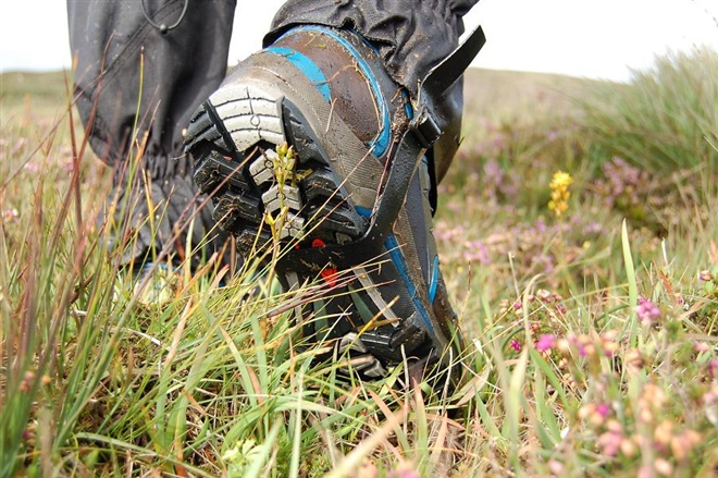
No steps or gullies, Slight gradient (1:12 max).
Edges generally defined, No overhanging branches.
Firm surface with some loose material.
Rest areas generally every 300m.
Way-finding markers every 300m.
Distance 'To Go' markers every 300m.
These walks are situated in a working forest environment and may be subject to diversion and closure from time to time.
Up to date information is available on the Forest Service web site - link below.
TRAIL INFORMATION
Follow the blue waymarker arrows from the car park.
Tollymore arboretum is one of the oldest known arboreta in Ireland. Planting began in 1752 as a Georgian landscape feature and this path meanders past various species of tree from around the world including the remnants of a lightning struck Giant Redwood and a thickly barked cork tree.
Trail Features -
No steps or gullies, Slight gradient (1:12 max).
Edges generally defined, No overhanging branches.
Firm surface with some loose material.
Rest areas generally every 300m.
Way-finding markers every 300m.
Distance 'To Go' markers every 300m.
These walks are situated in a working forest environment and may be subject to diversion and closure from time to time.
Up to date information is available on the Forest Service web site - link below.
GETTING TO THE START
- Point of Interest Wild herd of fallow deer, mature trees, wildlife
- Facilities Car park (fee charged), toilets (disabled access), picnic areas, electronic 'In-Touch' information kiosk, camping and caravaning, way-marked/ nature trails, guided tours available
- Accessibility Information
Accessibility Grade: Grade 4 Terrain: Firm surfaces, loose material Toilet Facility: No Signage: No - Getting to the Start Signposted from Newcastle. Take the road to Bryansford and the entrance to Tollymore Forest Park is on the left.
- Level of Difficulty
 Easy TRAIL GRADE DISCLAIMER
 The trail grades shown on OutmoreNI.com and WalkNI.com are based on desk-based assessments of available trail information. The categories—Easy, Moderate, Strenuous, and Very Strenuous—follow the Sustainable Trails Development Guide grading system.
These grades are provided as a general guide to help users choose trails that may be suitable for them. They are not a substitute for official, on-site grading or safety information provided by the relevant land manager, which may differ from the information on these websites.
Outdoor activities involve inherent risks, including the risk of injury, death, property damage, and other hazards. By using information from OutmoreNI.com and WalkNI.com, you acknowledge that you do so at your own risk. OutmoreNI.com and WalkNI.com accept no responsibility or liability for any loss, injury, or damage arising from the use of this information.
Conditions on trails can change, and the actual environment may differ from what is described online. Users should always exercise their own judgment, take appropriate precautions, and remain responsible for their own safety and conduct at all times.
All information provided on OutmoreNI.com and WalkNI.com is intended as a guide only and should be used alongside your own experience, awareness, and careful decision-making.
Relatively flat or gently rolling trails with a mostly smooth surface. You might come across some obstacles like bridges, gates and steps.
Normal clothing and footwear can be worn.