3.3 miles
Loop

Moderate
Tollymore Forest Park - River Trail

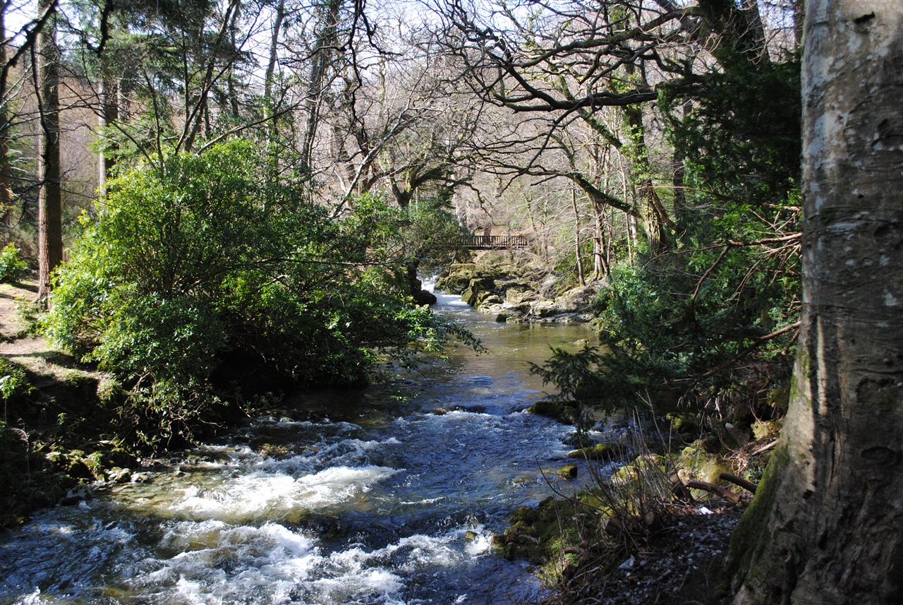
Having descended the Azalea Walk to the Shimna River, the trail turns upstream along the attractive tree lined river bank past the Hermitage to cross the river at Parnell's Bridge. The 10 metre cascade fall is most spectacular.
TRAIL INFORMATION
Follow the red waymarker arrows from the car park.
Down the Azalea Walk towards the Shimna river to the Hermitage this trail passes through both conifer and broadleaved woodland before crossing the Shimna at Parnell’s bridge.
Dramatic views of the Pot of Legawherry can be seen from the trail. There is an optional spur to the White Fort Cashel before following the Spinkwee River downstream, past the cascades and back to the Meeting of the Waters.
The trail proceeds through conifer plantations, past the duck pond and crosses the Shimna River over the Old Bridge, returning to the car park via the Green Rig.
Trail Features
Steps, gullies, tree roots
Moderate gradient (1:4)
Generally undefined edges
Overhanging branches
Broken surface material
Some rest areas at irregular intervals
Way-finding markers at trail junctions
Distance to go Markers at trail junctions
These walks are situated in a working forest environment and may be subject to diversion and closure from time to time.
Up to date information is available on the Forest Service web site - link below.
TRAIL INFORMATION
Follow the red waymarker arrows from the car park.
Down the Azalea Walk towards the Shimna river to the Hermitage this trail passes through both conifer and broadleaved woodland before crossing the Shimna at Parnell’s bridge.
Dramatic views of the Pot of Legawherry can be seen from the trail. There is an optional spur to the White Fort Cashel before following the Spinkwee River downstream, past the cascades and back to the Meeting of the Waters.
The trail proceeds through conifer plantations, past the duck pond and crosses the Shimna River over the Old Bridge, returning to the car park via the Green Rig.
Trail Features
Steps, gullies, tree roots
Moderate gradient (1:4)
Generally undefined edges
Overhanging branches
Broken surface material
Some rest areas at irregular intervals
Way-finding markers at trail junctions
Distance to go Markers at trail junctions
These walks are situated in a working forest environment and may be subject to diversion and closure from time to time.
Up to date information is available on the Forest Service web site - link below.
GETTING TO THE START
- Point of Interest Shimna River, the Hermitage, Parnell's Bridge, the Cascades
- Facilities Car park (fee charged), toilets (disabled access), picnic areas, camping and caravaning, electronic 'In-Touch' information kiosk, way-marked/ nature trails, guided tours available.
- Accessibility Information
Accessibility Grade: Grade 5 Terrain: Easy off-road paths Toilet Facility: No Signage: No - Getting to the Start Signposted from Newcastle. Take the road to Bryansford and the entrance to Tollymore Forest Park is on the left.
- Trail Grade Moderate TRAIL GRADE DISCLAIMER
The trail grades shown on OutmoreNI.com and WalkNI.com are based on desk-based assessments of available trail information. The categories—Easy, Moderate, Strenuous, and Very Strenuous—follow the Sustainable Trails Development Guide grading system.
These grades are provided as a general guide to help users choose trails that may be suitable for them. They are not a substitute for official, on-site grading or safety information provided by the relevant land manager, which may differ from the information on these websites.
Outdoor activities involve inherent risks, including the risk of injury, death, property damage, and other hazards. By using information from OutmoreNI.com and WalkNI.com, you acknowledge that you do so at your own risk. OutmoreNI.com and WalkNI.com accept no responsibility or liability for any loss, injury, or damage arising from the use of this information.
Conditions on trails can change, and the actual environment may differ from what is described online. Users should always exercise their own judgment, take appropriate precautions, and remain responsible for their own safety and conduct at all times.
All information provided on OutmoreNI.com and WalkNI.com is intended as a guide only and should be used alongside your own experience, awareness, and careful decision-making.
Routes with a varying range of climbs and descents, loose and uneven surfaces. Expect a few, large obstacles such as stiles and steps. A good level of fitness and self-reliance is recommended.