2.9 miles
Loop
Easy
West Bay & Ramore Head
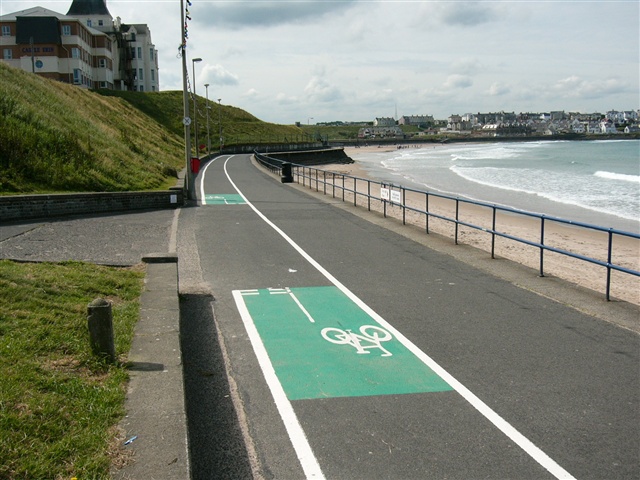
Enjoy a circular coastal walk around Portrush peninsula, taking in West Strand Beach, Portrush Harbour, Ramore Head, the Arcadia area and East Strand promenade. The walk is entirely along surfaced footpaths, and generally flat, except for the Ramore Head section. Steps encountered at harbour section.
TRAIL INFORMATION
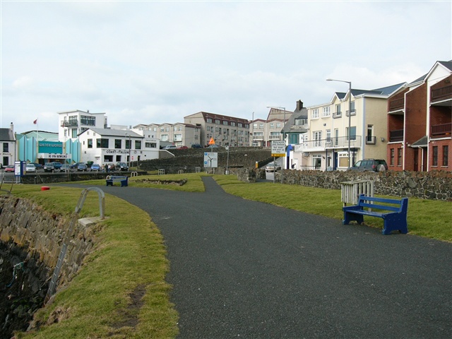
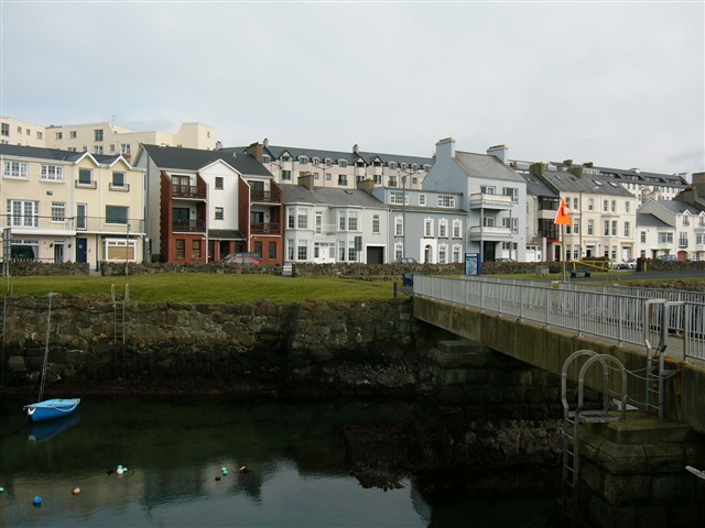
Starting at West Strand Car Park, follow the promenade or beach towards the harbour. Take time to explore the small RNLI museum on the left before crossing the footbridge over the harbour. Turn right and climb the steps adjacent to the restaurant, before turning left towards Ramore Head. Follow the paths around this coastal headland, taking time to enjoy the panoramic views afforded. Continue around Lansdowne car park and follow the path past Portrush Countryside Centre. Take time to explore the Centre (seasonal opening - free admission) and read the interpretation panels on the adjacent rocks relating to the area's geology. If time permits, visit the recently refurbished Antrim Gardens on the right. Interpretation panels outline the area's maritime and archaeological heritage. Follow the path along Bath Road and Bath Terrace towards the Arcadia. Continue along the promenade towards East Strand, and having passed the new Watersports Centre, turn sharp right to emerge onto Causeway Street. Turn left and continue along Causeway Street until reaching Crocknamack Road. Turn right and continue along Crocknamack Road until reaching the roundabouts and the starting point at West Strand Car Park.
TRAIL INFORMATION
Starting at West Strand Car Park, follow the promenade or beach towards the harbour. Take time to explore the small RNLI museum on the left before crossing the footbridge over the harbour. Turn right and climb the steps adjacent to the restaurant, before turning left towards Ramore Head. Follow the paths around this coastal headland, taking time to enjoy the panoramic views afforded. Continue around Lansdowne car park and follow the path past Portrush Countryside Centre. Take time to explore the Centre (seasonal opening - free admission) and read the interpretation panels on the adjacent rocks relating to the area's geology. If time permits, visit the recently refurbished Antrim Gardens on the right. Interpretation panels outline the area's maritime and archaeological heritage. Follow the path along Bath Road and Bath Terrace towards the Arcadia. Continue along the promenade towards East Strand, and having passed the new Watersports Centre, turn sharp right to emerge onto Causeway Street. Turn left and continue along Causeway Street until reaching Crocknamack Road. Turn right and continue along Crocknamack Road until reaching the roundabouts and the starting point at West Strand Car Park.
GETTING TO THE START
- Point of Interest Portrush Countryside Centre, rock formations
- Facilities Refreshments and toilets available in Portrush
- Getting to the Start West Strand Car Park, accessed via Portstewart Road, through archway under railway line
- Public Transport Translink – journeyplanner.translink.co.uk
- Level of Difficulty
 Easy TRAIL GRADE DISCLAIMER
 The trail grades shown on OutmoreNI.com and WalkNI.com are based on desk-based assessments of available trail information. The categories—Easy, Moderate, Strenuous, and Very Strenuous—follow the Sustainable Trails Development Guide grading system.
These grades are provided as a general guide to help users choose trails that may be suitable for them. They are not a substitute for official, on-site grading or safety information provided by the relevant land manager, which may differ from the information on these websites.
Outdoor activities involve inherent risks, including the risk of injury, death, property damage, and other hazards. By using information from OutmoreNI.com and WalkNI.com, you acknowledge that you do so at your own risk. OutmoreNI.com and WalkNI.com accept no responsibility or liability for any loss, injury, or damage arising from the use of this information.
Conditions on trails can change, and the actual environment may differ from what is described online. Users should always exercise their own judgment, take appropriate precautions, and remain responsible for their own safety and conduct at all times.
All information provided on OutmoreNI.com and WalkNI.com is intended as a guide only and should be used alongside your own experience, awareness, and careful decision-making.
Relatively flat or gently rolling trails with a mostly smooth surface. You might come across some obstacles like bridges, gates and steps.
Normal clothing and footwear can be worn.