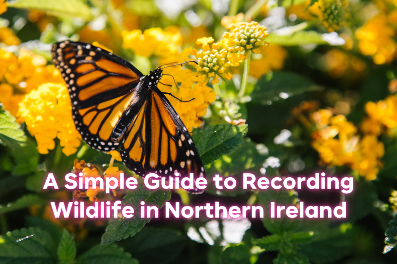
A Simple Guide to Recording Wildlife in Northern Ireland
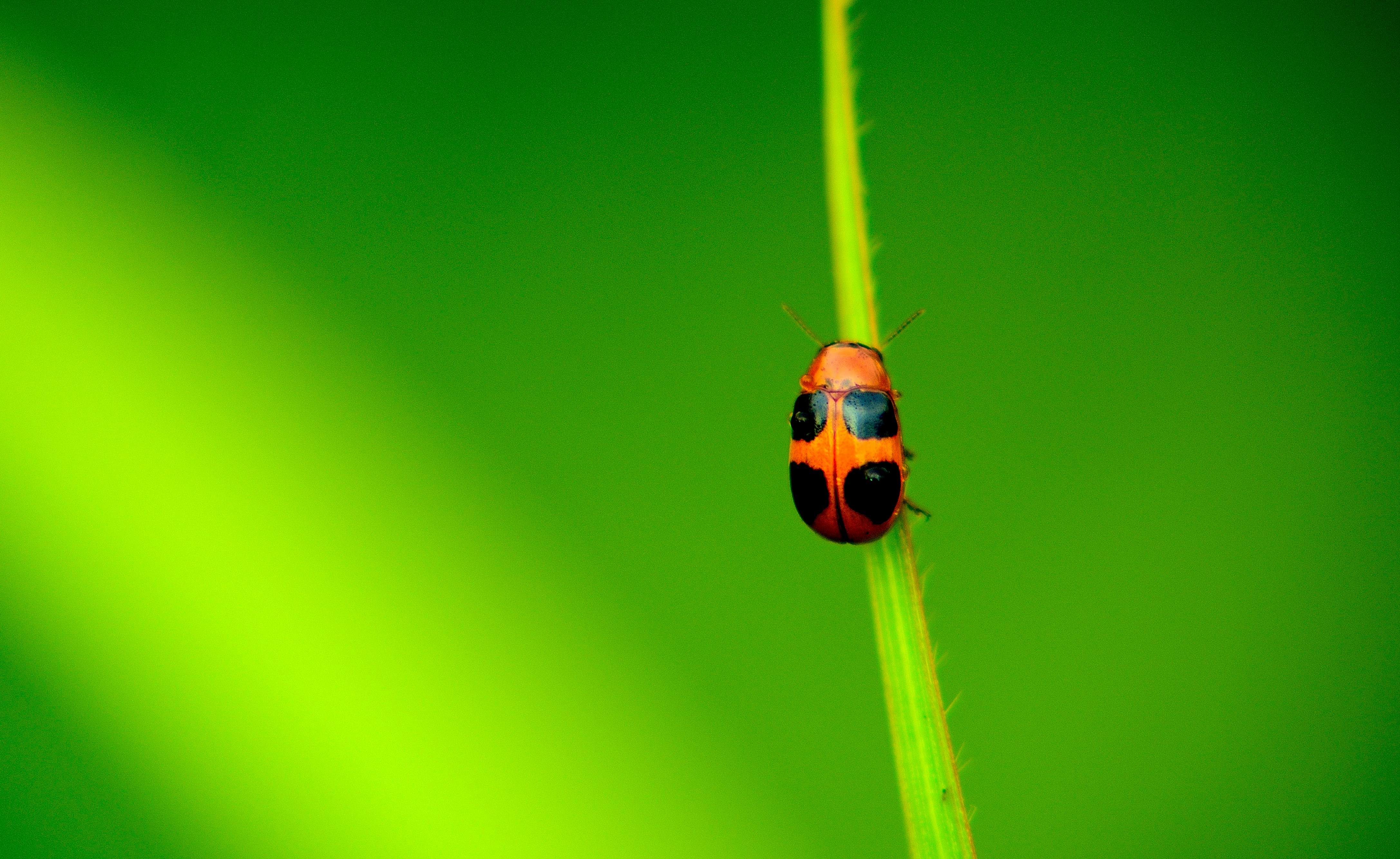
Have you ever stopped to admire a red squirrel in Tollymore or a ringlet butterfly drifting through Lough Neagh’s wetlands and wondered if you should tell somebody about it? You should!
The Centre for Environmental Data and Recording, better known as CEDaR, gathers thousands of local records each year and turns them into maps and reports that guide species action plans, habitat restoration and research.
Below is an easy step by step routine you can follow the next time you are out exploring an OutmoreNI trail or place.
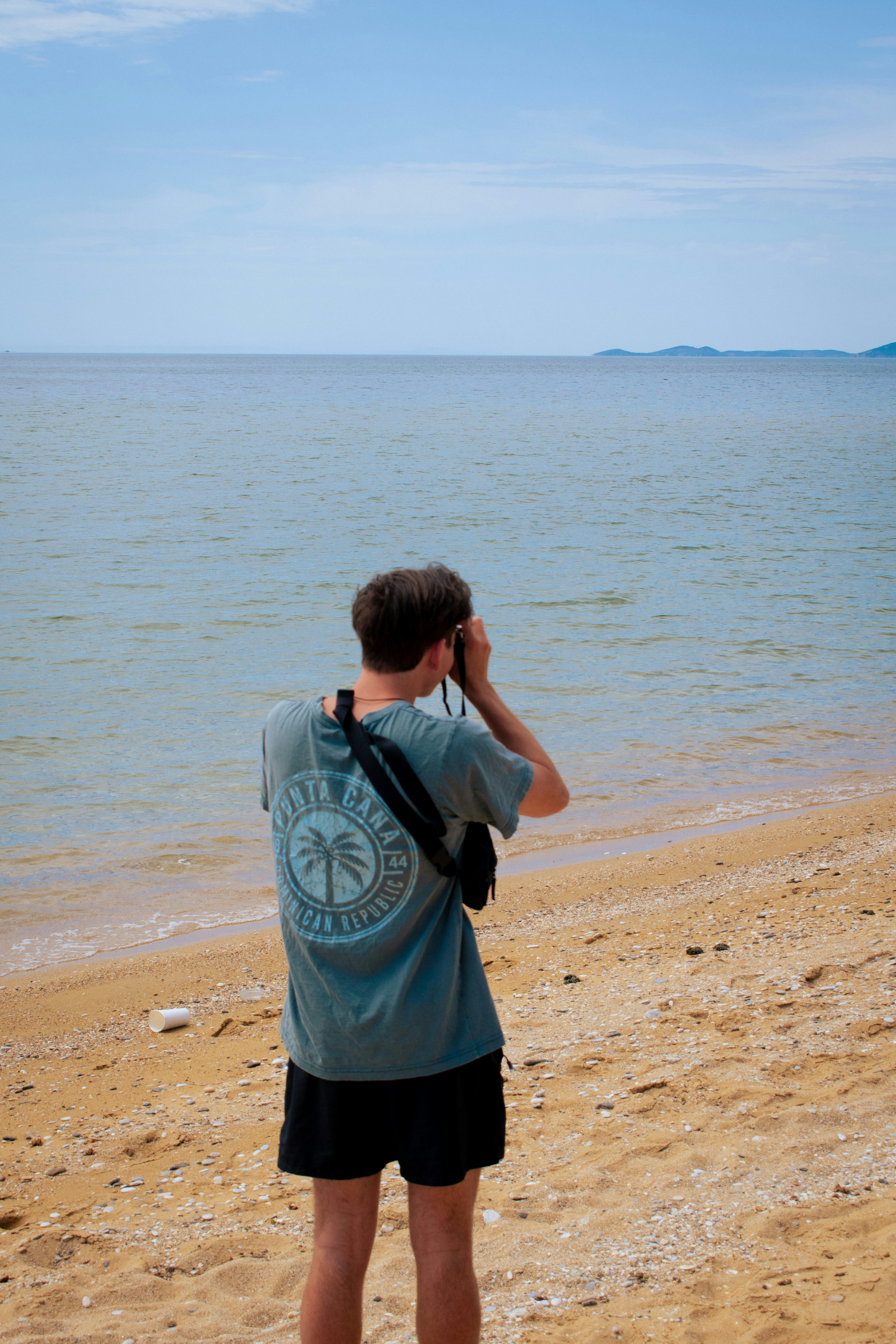
- Look carefully
Pause long enough to notice detail. A quick picture will really help later, even if the creature doesn’t stay some for long. - Identify
Many finds are straightforward with a field guide or the free Seek and iNaturalist apps. If you remain unsure you can still submit the photo and let a verifier confirm the name. - Note the essentials
Write down the species name (or as near as you can), the exact location, date, and the approximate number seen. Grid references are ideal, though most phones will give a precise GPS point automatically. - Submit online
There are lots of ways to submit your information. You can open the iRecord app and choose the Northern Ireland forms. Upload the details and add that helpful photo. You can also use the CEDaR online recording here, or send a spreadsheet to cedar.info@nationalmuseumsni.org. CEDaR experts check each entry before it becomes part of the national database. - Keep the habit
Repeat for fungi on forest walks, seals off the Causeway Coast or even common garden sparrows. Frequent, accurate records build the bigger biodiversity picture.
Why your records matter
Every verified sighting feeds into the Northern Ireland Species Map and helps conservationists spot population changes, plan protected areas and respond quickly to threats such as invasive plants or disease outbreaks. Schools use the same data for outdoor lessons and researchers rely on it when writing scientific papers or drafting policy advice.
Recording wildlife is also rewarding on a personal level. You sharpen observation skills, learn new identification tips and build a deeper connection with the places you visit. On your next walk then, remember that one photograph and a few clicks are enough to place your discovery on the map and help safeguard Northern Ireland’s natural heritage for everyone who follows.
For more information on recording species, check out this helpful PDF from CEDaR.
Happy spotting, and thank you for keeping nature on the radar!